What is recorded here
Situated on a slight N-facing slope. First identified in centre-line testing (02E0441) in field 13 by Tara O'Nell and Deirdre Murphy of Archaeological Consultancy Services in preparation for the N25 Waterford City bypass (O'Neill 2004b, 487), and excavated (03E0590) by Ian Russell as Gracedieu West 4. An area of deposits overlying post-holes, pits and a hearth may represent a structure of uncertain size. Radiocarbon dates of AD 990-1160 and AD 1020-1200 were obtained (Russell 2009, app. 1), although prehsitoric pottery and lithics were also recovered. (Russell 2006c; Russell and Ginn 2011g)
O'Neill, T. (2004b) Ballyduff East/Killoteran/Woodstown/Knockhouse Upper/Gracedieu West. Assessment. in I. Bennett (Ed.) Excavations 2002: summary accounts of excavations in Ireland, 486-7, No. 1781. Wordwell. Bray.
Russell, I. (2006c) Gracedieu West 4-8. in I. Bennett (Ed.) Excavations 2003: summary accounts of excavations in Ireland, 499, No. 1880. Wordwell. Bray.
Russell, I. (2009a) N 25. Waterford bypass. Archaeological investigation. Contract 1. Final report on the archaeological excavation of Gracie Dieu West 4-8. Licence 03E0590. Unpublished report. Archaeological Consultancy Services.
Russell, I. and V. Ginn (2011g) Gracedieu West 4, Co. Waterford. in J. Eogan and E. Shee-Twohig (2011) Cois tSiúire – nine thousand years of human activity in the lower Suir valley. Archaeological excavations on the N25 Waterford city bypass, vol. 2, 25-7. NRA road scheme: Monograph 8, Dublin
Compiled by: Michael Moore
Date of upload: 13 May 2011
The monument record does not grant public access. Check the route and ask the landowner before entering private land.
- What survives
- Recorded monument
Places near here
 Structure in Gracedieu WestStructure · 69 yd
 Gracedieu Househouse · 557 yd
 Granny CastleCastle, tower house · 813 yd
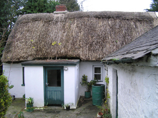 farm housefarm house · 955 yd
 Native Woodland Trust:Grace Dieu ReserveWood · 1253 yd
 Hearth in Knockhouse UpperHearth · 1647 yd
 Native Irish Tree TrailWood · 1.7 mi
 Corluddy Castle (in Ruins)Castle, tower house · 2.1 mi
 French TowerHeritage attraction · 2.2 mi
 Mount Congreve GardensHeritage attraction · 3.3 mi
 Sugar Loaf RockMountain / peak · 4.4 mi
 Ballyscanlon HillMountain / peak · 7.8 mi