What is recorded here
In gently undulating pasture, c. 1.5km to SE of the River Shannon. Not depicted on OS historic mapping. Identified by Tracy Collins in 2006 during test trenching (Ministerial Direction Order A026/169, NRA Reg. E2322) prior to the construction of the Southern Limerick Ring-Road and excavated in the same year by Aidan Harte as part of Gortnalahagh Site 3 (Harte 2011, 4). Two charcoal rich pits (1.4m x 0.6m and 1.3m x 1.2m) were identified initially and additional investigations revealed six further pits (Area A) and a hearth (Area B) (Harte 2011, 4). Four of the pits were subsequently identified as rubbish pits, having burnt animal bone within their respective fills (Stronach 2008; Harte, ibid). A radiocarbon date from one of the pits identified an Early Bronze Age date and a second indicated Iron Age activity (Harte, ibid). There was no dateable material recovered from Area B, however comparative analysis of the hearth to that recovered from other sites indicated that it was a charcoal pit kiln (Harte, 4-5).
See attached location plan from excavation report.
Compiled by: Alison McQueen and Vera Rahilly
Date of upload: 2 July 2020
The monument record does not grant public access. Check the route and ask the landowner before entering private land.
- What survives
- Recorded monument
Places near here
 Fulacht fia in GortnalahaghFulacht fia · 199 yd
 Enclosure in SallymountEnclosure · 288 yd
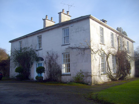 Gardenhill Housecountry house · 1114 yd
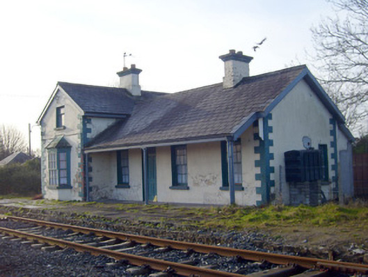 Lisnagry Railway Stationrailway station · 1180 yd
 Castle ConnellRuins · 1.2 mi
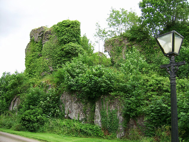 Castle Connell (in ruins)Castle, Anglo-Norman masonry castle · 1.2 mi
 Jackie PowerMemorial · 2.5 mi
 Campus MapVisitor information · 3.6 mi
 Visitor CentreVisitor information · 3.7 mi
 Fountain SculptureHeritage attraction · 3.7 mi
 Old PumpHeritage attraction · 3.9 mi
 Graveyard in AbingtonGraveyard · 5.4 mi