What is recorded here
Situated on an E-facing slope of Gibbet Hill. Archaeological testing (05E0421) in an area of c. 10 ha identified a pit (diam. 0.47-0.54m; D 0.22m) with a larger pit (diam. 1.9-2.1m; D 0.25m) containing charcoal and cut in an oxidised subsoil c. 15m to the ENE. A third pit (diam. 0.33m; D 8cm) was adjacent to the largest pit. (Gleeson 2008)
Gleeson, C. (2008) Bowes Head, Gibbet Hill, Gracedieu. Testing. in I. Bennett (Ed.) Excavations 2005: summary accounts of excavations in Ireland, 363, No. 1493. Wordwell. Dublin.
Compiled by: Michael Moore
Date of upload: 26 August 2010
The monument record does not grant public access. Check the route and ask the landowner before entering private land.
- What survives
- Recorded monument
Places near here
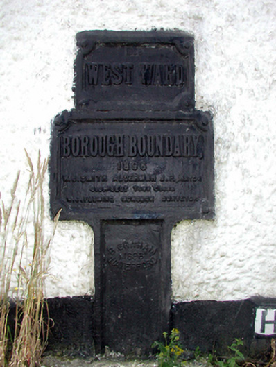 ward boundary markerward boundary marker · 175 yd
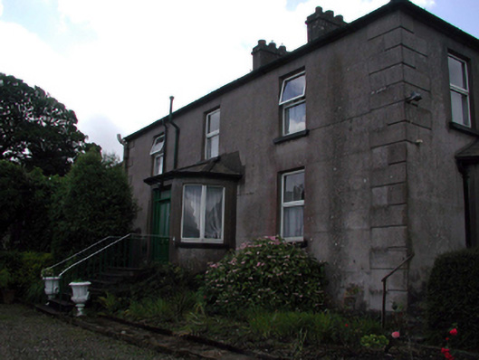 Rocklandshouse · 514 yd
 Structure in Gracedieu WestStructure · 1740 yd
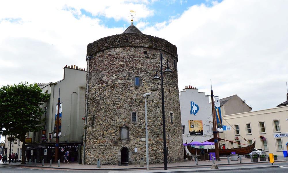 Semi-Lunar TowerCastle · 1.1 mi
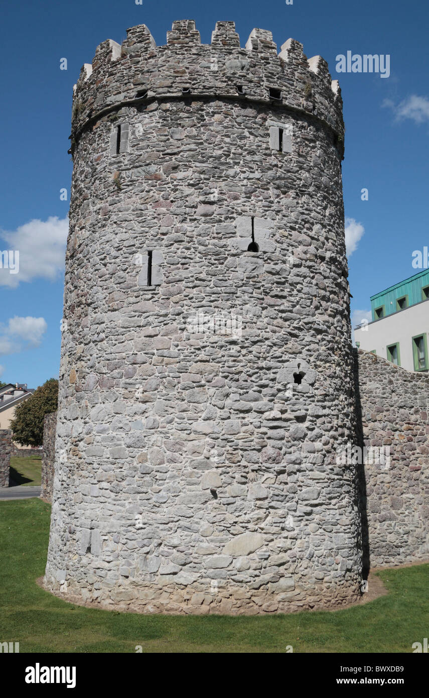 Waterford City WallsVisitor information · 1.1 mi
 Enclosure in Knockhouse LowerEnclosure · 1.2 mi
 Granny CastleCastle, tower house · 1.3 mi
 Native Woodland Trust:Grace Dieu ReserveWood · 1.5 mi
 Native Irish Tree TrailWood · 2.0 mi
 Mount Congreve GardensHeritage attraction · 3.7 mi
 Sugar Loaf RockMountain / peak · 4.2 mi
 Waterford & Suir Valley RailwayHeritage attraction · 4.8 mi