What is recorded here
Discovered during monitoring of top soil stripping (Excavation Licence No. 01E1008). An oval shaped pit (2.76m x 1.8m; D 0.46m) covered with a thin layer of burnt mound material. It was filled with material very similar to that of the fulacht fia (LH007-135----) found in the same field. (Danaher, 2001)
Reference:
Danaher, E. 2001 Preliminary report on archaeological excavations at Farrandreg, Dundalk, Co. Louth. Unpublished archaeological report. National Monuments Section, Department of Arts, Heritage and the Gaeltacht, Dublin.
Compiled by: Claire Breen
Date of upload: 01 December 2011
The monument record does not grant public access. Check the route and ask the landowner before entering private land.
- What survives
- Recorded monument
Places near here
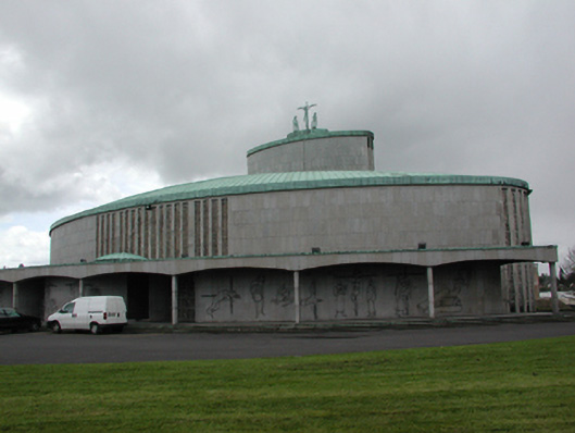 Catholic Church of the Holy Redeemerchurch/chapel · 672 yd
 Church (in Ruins)Church · 720 yd
 Dun Dealgan (Man-made underground passage)Man-made underground passage · 735 yd
 Castletown MotteArchaeological place · 754 yd
 Dun DealganCastle, motte and bailey · 756 yd
 Man-made underground passage in DemesneMan-made underground passage · 1130 yd
 Dundalk CentralHeritage attraction · 1141 yd
 Photo GalleryHeritage attraction · 1211 yd
 Maid of ErinMemorial · 1573 yd
 Bombing 1975Memorial · 1623 yd
 Battle of FaughartMajor battlefield · 2.7 mi
 Soldiers' PointHeadland · 3.0 mi