What is recorded here
Excavation at County Limerick revealed charcoal-rich pits and paired curved gullies beneath a proposed housing area in August and September 2008. One pit contained material suggesting a Bronze Age date, while field drains and ditches cut through the older remains. The earth had kept sharp edges, broken circles and dark inclusions waiting for a machine to expose them.
This is the record for the features excavated by Lisa Doyle (08E0677) when 'testing was carried out on behalf of Limerick County Council. The proposed area of development, 8666m2, was stripped of topsoil by mechanical excavator. Monitoring of the roadway and the area for the houses took place on 16 July 2008. Excavation took place between 27 August and 11 September 2008. The removal of topsoil exposed several dispersed features, as well as a network of ditches, furrows and field drains. Where stratigraphic relationships were identified the linear field features truncated the archaeological remains. To the north-east a paired-arc feature was identified. Curved gullies (004) (4.3m by 0.67m by 0.28m) and (024) (5.2m by 0.7m by 0.27m) were 1.2m apart at their southern end, the maximum distance between them, 1.7m, was towards the centre, with the gap reduced to a mere 0.3m at the northern extreme. A cluster of pits was located about 14m north-north-west of the paired gullies (004) and (024). A large, deep feature (007) (4.9m by 4.5m by 1.3m) had charred and organic remains recovered from the lower levels. Three smaller rounded pits were also associated with the deep feature. To the north-west five charcoal-rich pits were uncovered, one of which (010) (2.9m by 1.5m by 0.23m) produced material of a probable Bronze Age date and had been truncated by a large field boundary ditch. The associated pits may be of a similar antiquity but will have to be dated by independent means such as radiocarbon. Fringing the north-west corner of the proposed open green space at the centre of the housing development, a second group of five charcoal-rich pits had been disturbed by stone field drains. No diagnostic artefacts were recovered but it is hoped that environmental samples will produce suitable dating material. An east–west-orientated ditch was identified to the west of the green area. Fragments of modern china and animal bone were recovered from the homogenous fill.'
The above description is posted on the web at the following internet address: http://www.excavations.ie/ (accessed 21 August 2012).
Compiled by: Denis Power
Date of upload: 21 August 2012
The monument record does not grant public access. Check the route and ask the landowner before entering private land.
- What survives
- Recorded monument
Places near here
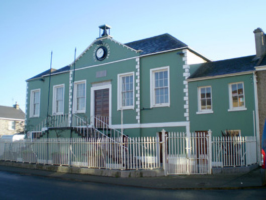 Áras Pobail Ráth Caolacourt house, prison/jail · 550 yd
 AbbeyReligious house, Augustinian canons · 566 yd
 RathkealeHistoric town · 651 yd
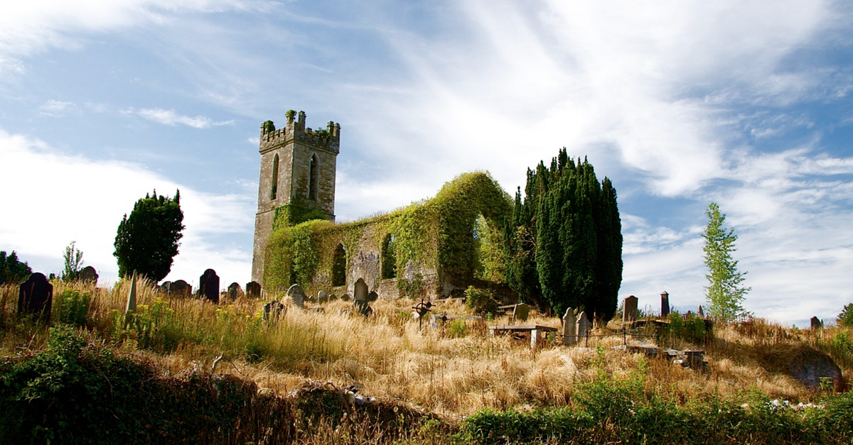 Grave YardGraveyard · 835 yd
 Glebe CastleCastle · 1118 yd
 Castle MatrixCastle, tower house · 1681 yd
 TobernablahySpring · 1.9 mi
 European ashEuropean ash · 2.5 mi
 Flat cemetery in CroaghFlat cemetery · 2.7 mi
 St. Kieran's WellSpring · 3.0 mi
 Flat cemetery in Kiltenan SouthFlat cemetery · 4.2 mi
 Little HeavenHeritage attraction · 5.6 mi