What is recorded here
In reclaimed pasture, 135m E of townland boundary with Elton, a hearth site (LI040-279----) was excavated 235m to the SE. Not marked on OSi historic maps. Low oval-shaped mound (LI040-108----) excavated by Christine Tarbett in 1986 prior to the construction of the Bórd Gáis Éireann Curraleigh West-Limerick gas pipeline, associated with some pits (LI040-108001-) and a possible kiln (LI040-108002-). The results of this excavation were summarised as follows; ‘Partial excavation of a charcoal layer (2/23/2)’ (Gowen 1988, 52-61; Tarbett 1987, 24).
Compiled by: Fiona Rooney
Date of upload: 3 July 2021
The monument record does not grant public access. Check the route and ask the landowner before entering private land.
- What survives
- Recorded monument
Places near here
 Kiln in DoonmoonKiln · 8 yd
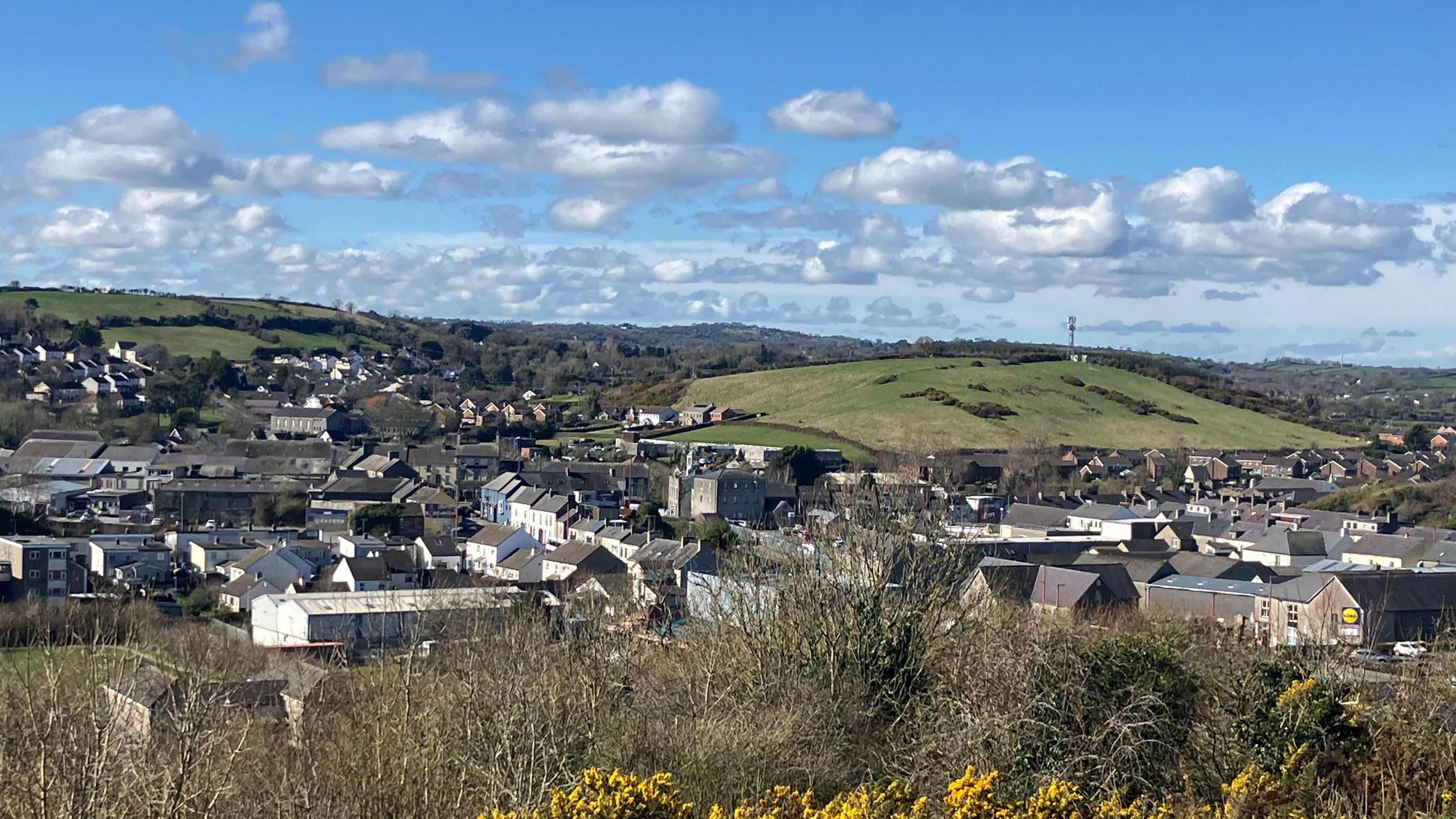 Field system in BallynahinchField system · 842 yd
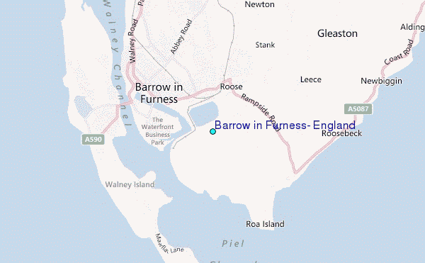 BarrowBarrow, ditch barrow · 881 yd
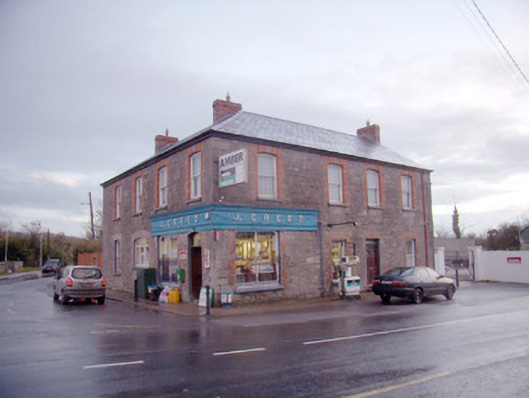 J. Creedhouse · 901 yd
 Athneasy FortCastle, motte and bailey · 1570 yd
 Mote - HachuredCastle, motte · 1.6 mi
 St Patrick's WellSpring · 1.7 mi
 Edmund's WellSpring · 1.8 mi
 Ballinvreena LoopVisitor information · 2.5 mi
 Flat cemetery in Knockainy WestFlat cemetery · 3.2 mi
 SlievereaghMountain / peak · 3.8 mi
 Carn (site of)Cairn, burial cairn · 4.4 mi