What is recorded here
This monument was excavated (Licence no. 08E0155) in advance of road widening. Three phases of archaeological activity were identified, the earliest of which was a wide linear ditch (exposed for 99m E-W) that ran along the base of the hill where Donabate church (DU012-005001-) and tower house (DU012-005002-) are located. Radiocarbon analysis of a sample of animal bone from the ditch fill returned an early medieval date (661-778 cal. AD). The second phase consisted of structures (DU012-082002-), drainage ditches and pits dated to the 13th – 14th centuries. An E-W ditch cut into the early medieval ditch and returned a later medieval date from an animal bone sample (1429-1473 cal. AD). The final phase consisted of a post-medieval circular building with a substantial stone footing (interpreted as a possible dovecote), ditches and a metalled path (Kavanagh 2011, 32).
Compiled by: Christine Baker
Date of upload: 5 February 2015
The monument record does not grant public access. Check the route and ask the landowner before entering private land.
- What survives
- Recorded monument
Places near here
 Structure in DonabateStructure · 5 yd
 TowerCastle, tower house · 55 yd
 Saint Patrick's Church (Donabate)church/chapel · 56 yd
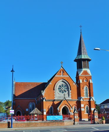 St. Patricks Church on site of ChurchGraveyard · 71 yd
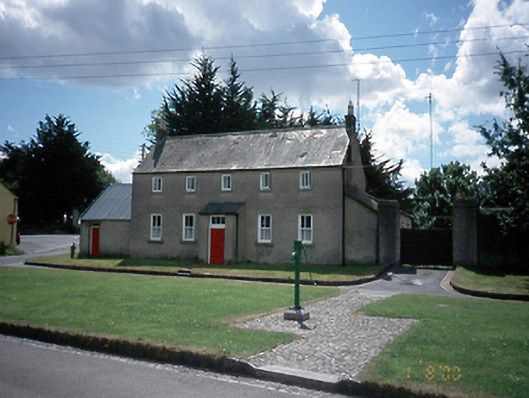 The Cottagehouse · 119 yd
 The Red HouseMemorial · 459 yd
 Old Post OfficeMemorial · 487 yd
 Newbridge House and DemesneHeritage attraction · 953 yd
 Tourist InformationVisitor information · 1118 yd
 Turvey HouseCastle, tower house · 1734 yd
 The Birds of Rogerstown EstuaryVisitor information · 1750 yd
 Turvey Allotments and Nature ReserveNature reserve · 1.1 mi