What is recorded here
Excavation in County Dublin revealed three phases of life beneath a widening road: an early medieval ditch, later medieval structures, and a post-medieval circular building. The earliest ditch ran ninety-nine metres beside the hill where Donabate church and tower house still stand, dated through animal bone to 661-778 cal. AD. People lived, drained, built and marked that ground long before the road claimed it.
This monument was excavated (Licence no. 08E0155) in advance of road widening. Three phases of archaeological activity were identified, the earliest of which was a wide linear ditch (exposed for 99m E-W) that ran along the base of the hill where Donabate church (DU012-005001-) and tower house (DU012-005002-) are located. Radiocarbon analysis of a sample of animal bone from the ditch fill returned an early medieval date (661-778 cal. AD). The second phase consisted of structures (DU012-082002-), drainage ditches and pits dated to the 13th – 14th centuries. An E-W ditch cut into the early medieval ditch and returned a later medieval date from an animal bone sample (1429-1473 cal. AD). The final phase consisted of a post-medieval circular building with a substantial stone footing (interpreted as a possible dovecote), ditches and a metalled path (Kavanagh 2011, 32).
Compiled by: Christine Baker
Date of upload: 5 February 2015
The monument record does not grant public access. Check the route and ask the landowner before entering private land.
- What survives
- Recorded monument
Places near here
 Structure in DonabateStructure · 5 yd
 TowerCastle, tower house · 55 yd
 Saint Patrick's Church (Donabate)church/chapel · 56 yd
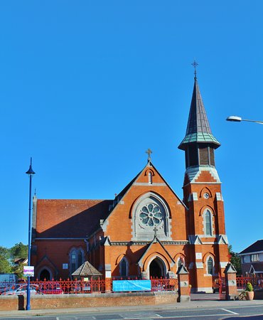 St. Patricks Church on site of ChurchGraveyard · 71 yd
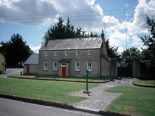 The Cottagehouse · 119 yd
 The Red HouseMemorial · 459 yd
 Old Post OfficeMemorial · 487 yd
 Newbridge House and DemesneHeritage attraction · 953 yd
 Tourist InformationVisitor information · 1118 yd
 Turvey HouseCastle, tower house · 1734 yd
 The Birds of Rogerstown EstuaryVisitor information · 1750 yd
 Turvey Allotments and Nature ReserveNature reserve · 1.1 mi