What is recorded here
Excavation is an archaeological dig in County Kildare, Ireland. In 1999, workers stripping topsoil for the Prosperous Sewerage Scheme uncovered a small burned area with rounded corners, likely the truncated remains of a fire-pit. Its charred fill was sampled for wood analysis and radiocarbon dating, preserving a fleeting human warmth beneath modern progress.
In 1999, archaeological monitoring (Licence No. 99E0569) of topsoil-stripping associated with the Prosperous Sewerage Scheme revealed a small but distinct area of burning, irregular in plan with rounded corners (dims. L 1.74m NW-SE; Wth 1.14m; D 0.13m); the probable truncated remains of a fire-pit. A sample of the fill was sent for wood analysis, after which it was to be submitted for radiocarbon dating. (www.excavations.ie)
Compiled by: Gearóid Conroy
Date of upload: 10 June 2011
The monument record does not grant public access. Check the route and ask the landowner before entering private land.
- What survives
- Recorded monument
Places near here
 Eldons FortFairy fort / earthen ringfort · 125 yd
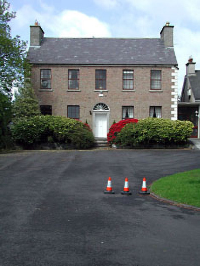 Curryhills Househouse · 244 yd
 Scrawtown FortFairy fort / earthen ringfort · 501 yd
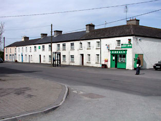 factoryfactory · 759 yd
 Grand Canal WayWalking route · 849 yd
 The Kildare MazeHeritage attraction · 1.2 mi
 Ballynafagh Bog Special Area of ConservationNature reserve · 1.5 mi
 IndicatedCastle, motte · 1.7 mi
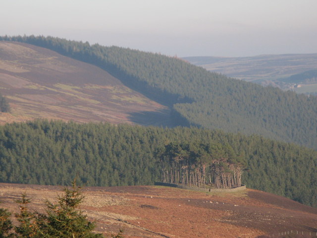 TumulusWood · 1.8 mi
 1798 Rebellion MemorialMemorial · 2.4 mi
 Queen Buans GraveCastle, motte and bailey · 2.4 mi
 Celebrating CommunityMemorial · 2.4 mi