What is recorded here
Located in a broad col with Vinegar Hill c. 900m to the WSW and a lower hill c. 750m to the ENE. Archaeological testing (06E1184) around the enclosure (WX020-033001-) produced evidence of activity all around it in the form of up to forty pits (dims c. 0.4m x 0.4m to 2.7m x 2m), particularly to the S and W of the enclosure. (McLoughlin 2007, 4-5).
Compiled by: Michael Moore
Date of upload: 6 June, 2012
The monument record does not grant public access. Check the route and ask the landowner before entering private land.
- What survives
- Recorded monument
Places near here
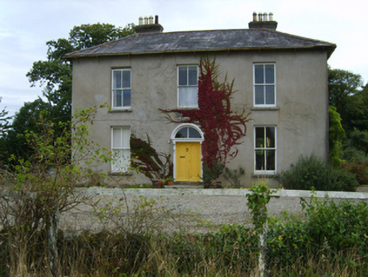 farm housefarm house · 719 yd
 Battle of Vinegar Hill, 1798Monument · 785 yd
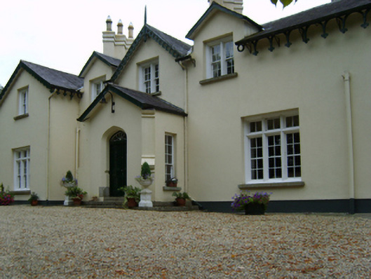 Clonhasten Housefarm house · 791 yd
 IndicatedEnclosure · 859 yd
 Vinegar HillMountain / peak · 886 yd
 Windmill (in ruins)Windmill · 910 yd
 Battle of Vinegar HillMajor battlefield · 1.2 mi
 U.N. Peace MemorialMonument · 1.2 mi
 Duffry GateMemorial · 1.3 mi
 National 1798 CentreMuseum · 1.3 mi
 Daphney CastleCastle, unclassified · 2.5 mi
 CastleCastle, ringwork · 2.8 mi