What is recorded here
Found during construction of Cork-Dublin gas pipeline (1981-82). 'Hearth (diam. 0.6m); 'excavated - undateable (Cleary et al. 1987, 8).
The above description is derived from the published 'Archaeological Inventory of County Cork. Volume 2: East and South Cork' (Dublin: Stationery Office, 1994). In certain instances the entries have been revised and updated in the light of recent research.
Date of upload/revision: 14 January 2009
The monument record does not grant public access. Check the route and ask the landowner before entering private land.
- What survives
- Recorded monument
Places near here
 Fulacht fia in Broomfield EastFulacht fia · 241 yd
 Broomfield Househouse · 752 yd
 Graveyard in Broomfield WestGraveyard · 1121 yd
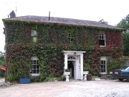 Westpark Househouse · 1430 yd
 Grave YardGraveyard · 1492 yd
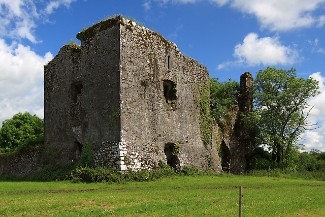 Cahermone Castle (in Ruins)Castle, tower house · 1.0 mi
 Cahermone CastleCastle · 1.0 mi
 Midleton IRA MonumentMemorial · 1.2 mi
 Jameson Distillery MidletonHeritage attraction · 1.3 mi
 Noel Collins BridgeVisitor information · 2.0 mi
 Ballyannan (Bluebell) WoodsForest · 2.3 mi
 N25 Picnic SitePicnic place · 3.5 mi