What is recorded here
Identified in centre-line testing (E4110) in advance of the M11 Gorey to Enniscorthy road scheme, when two pits (dims 0.7m x 0.5m: 1-1.1m x 0.7m; D 0.2m) containing prehistoric pottery and some lithics were excavated. It was set aside for resolution as Ballynabarney 1 (Hardy et al. 2010, 101-02). The site is located on a level landscape in the valley of the N-S River Slaney, with the river c. 180m to the NW, and there is a small S-N stream c. 160m to the W. An extensive area (dims 25m x 17m) was excavated (E4338) by C. Hardy, but only a single oval, flat-bottomed pit (dims 0.7m x 0.6m; D 0.3m) was recorded. This had two fills, both with numerous sherds of Beaker pottery. A total of 128 fragments were recovered from this pit, representing at least ten fine and four domestic Beaker vessels, including a footed bowl. The pottery is stylistically dated to 2450-2200 BC, and a sample from the lower fill confirms this by producing a C14 date of Cal BC 2460-2209. The pits and related features (WX020-105----) are c. 145m to the E. (McNamara and Taylor 2012; Hardy 2013)
Compiled by: Michael Moore
Date of upload: 28 November, 2013
The monument record does not grant public access. Check the route and ask the landowner before entering private land.
- What survives
- Recorded monument
Places near here
 Fulacht fia in BallynabarnyFulacht fia · 130 yd
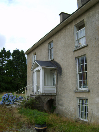 York Villefarm house · 379 yd
 Site of ChurchChurch · 540 yd
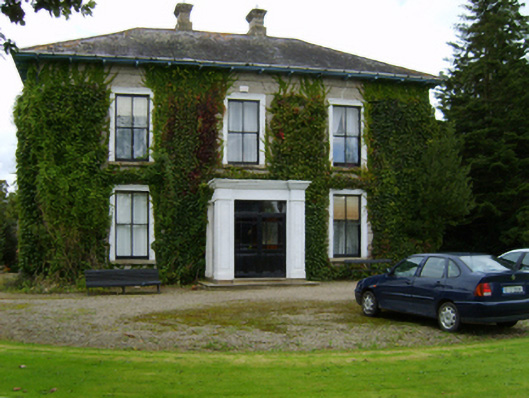 Ballyvarnafarm house · 650 yd
 Battle of Vinegar Hill, 1798Monument · 1.5 mi
 Vinegar HillMountain / peak · 1.5 mi
 U.N. Peace MemorialMonument · 2.0 mi
 Battle of Vinegar HillMajor battlefield · 2.0 mi
 Duffry GateMemorial · 2.1 mi
 National 1798 CentreMuseum · 2.2 mi
 Daphney CastleCastle, unclassified · 3.2 mi
 CastleCastle, ringwork · 3.9 mi