What is recorded here
In 2002, archaeological monitoring (Licence No. 02E0680) was undertaken before development of the Backweston State Agricultural Laboratory Campus, and a pit was archaeologically excavated. It was cut into the natural boulder clay and had been significantly truncated on top, presumably by late post-medieval or modern ploughing. It exhibited clear indications of in situ burning, containing two charcoal-rich fills, with the natural boulder clay surrounding the edge of the cut burnt to a light to mid-red/brown. The feature measured 2.03m north-east/south-west by 0.94m. It achieved a maximum depth of c. 0.22m. The cut had a flat base, with straight sides and sharp upper and basal breaks of slope. The upper fill was a mid-grey/brown silty clay with frequent charcoal flecks, occasional burnt mid-red/brown patches and small, irregularly shaped stones, and a single medium-sized stone. It was 0.14m deep. The lower 0.08m of fill was black, of which 90% was composed of charcoal (flecks and small fragments), with 10% comprising a soil identical to the upper fill of the feature. The lower fill was visible around some of the edges of the feature, indicating truncation. No small finds were recovered from these deposits. (www.excavations.ie)
Compiled by: Gearóid Conroy
Date of upload: 10 June 2011
The monument record does not grant public access. Check the route and ask the landowner before entering private land.
- What survives
- Recorded monument
Places near here
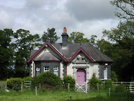 Stacumny Housegate lodge · 186 yd
 Church in StacumnyChurch · 606 yd
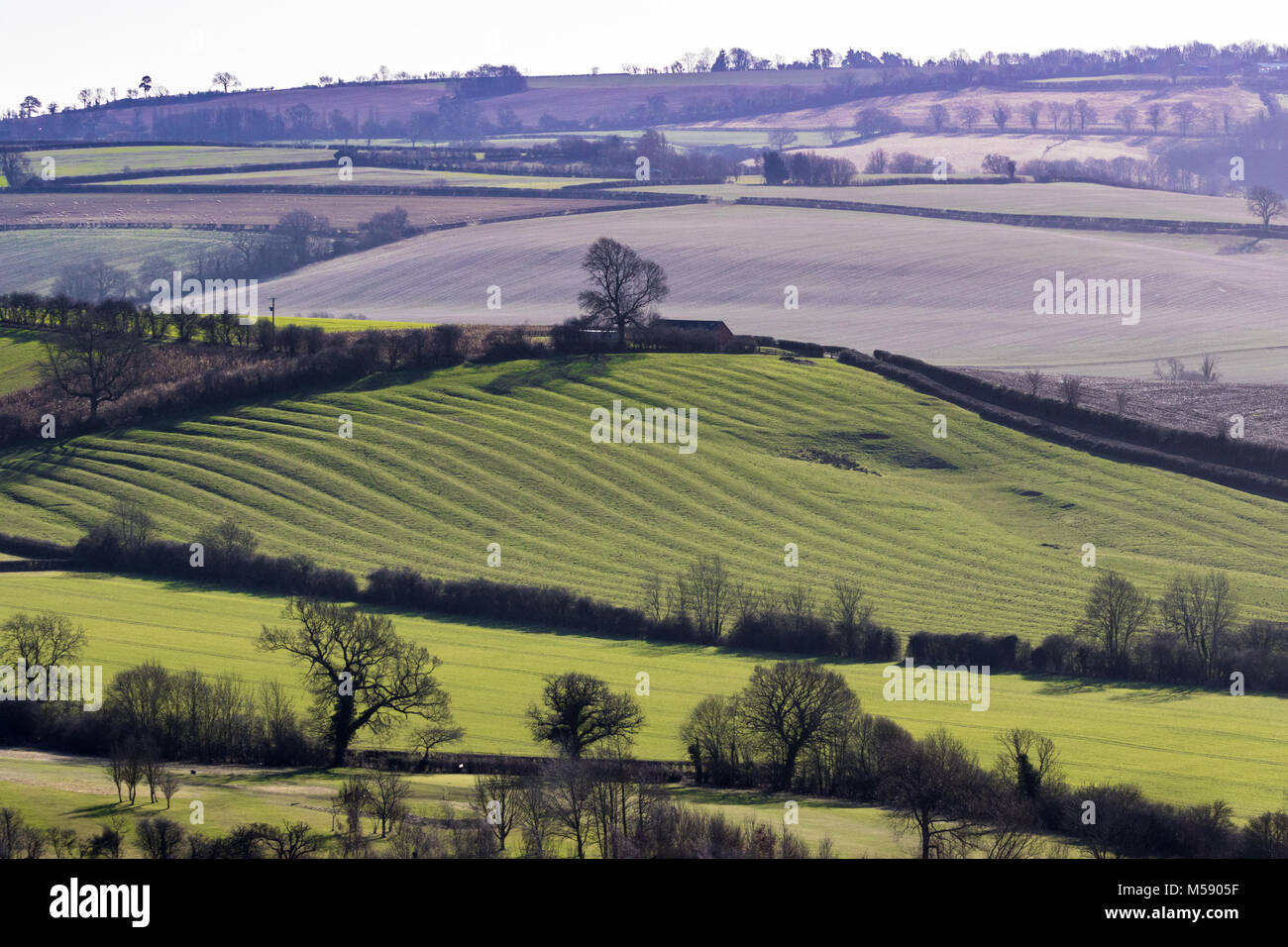 Field system in AderrigField system · 722 yd
 Dotted outlineEcclesiastical enclosure · 755 yd
 Saint Wolstan'sHeritage attraction · 1274 yd
 Batty Langley WoodsForest · 1387 yd
 CastleCastle, unclassified · 1508 yd
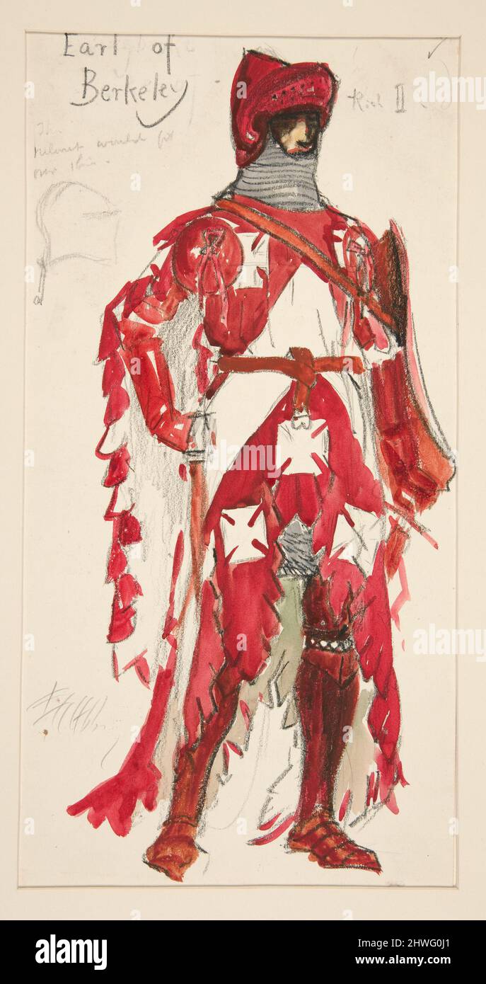 Berkeley Costume and Toy CollectionMuseum · 1.4 mi
 Grand Canal WayWalking route · 1.5 mi
 Arthur GuinessMemorial · 1.6 mi
 Leixlip MonumentMemorial · 1.7 mi
 Castle (site of)Castle, unclassified · 1.7 mi