What is recorded here
Archaeological testing (E4128) during 2010 on a D-shaped area (dims c. 220m NE-SW; c. 180m NW-SE) S of the N11 motorway at Ballyellin identified some prehistoric features as well as a rectangular structure (WX003-049----) that is c. 95m further N. This area, known as Ballyellin 2, was completely excavated (E4147) in August 2010.
Six pits (dims c. 07m x 0.4m; D 0.1m 2.3m x 0.8m; D 0.2m) contained clays with elements of heat-shattered stone, charcoal, flint, burnt bone and pottery. Two isolated pits produced a flint flake and a C14 date of cal. BC 1770-1610, and 25 flints in toal were recovered. However, the rest of the features are 12-14th century in date, confirmed by 95 sherds of Leinster cooking ware and a C14 date of cal. AD 1280-1400. One pit was incorporated with a N-S gully (Wth c. 0.45m; D c. 0.2m; L 7.5m) which may have connected with an E-W gully (Wth 0.5-0.7m; D 0.05-02m) at its N end, but the junction of the two was cut by a NW-SE ditch (Wth 1.8m; D 0.5m) that produced a polished stone axehead in its upper fill. (McLoughlin and Lynch 2010, 7; McLoughlin 2010, 6-13; McLoughlin 2013)
Compiled by: Michael Moore
Date of upload: 6 February, 2013
The monument record does not grant public access. Check the route and ask the landowner before entering private land.
- What survives
- Recorded monument
Places near here
 Fulacht fia in BallyellinFulacht fia · 173 yd
 St. Michaels WellHoly well · 913 yd
 bridgebridge · 1291 yd
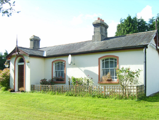 Inch Railway Stationstation master's house · 1384 yd
 CastleCastle, unclassified · 1.6 mi
 Ballyfad WoodWood · 2.5 mi
 Arklow RockMountain / peak · 2.7 mi
 Clogga StrandBeach / strand · 2.7 mi
 Shirsheen WoodForest · 2.8 mi
 Nuns BeachBeach / strand · 3.1 mi
 Tara HillMountain / peak · 3.3 mi
 Battle of Arklowbattle · 3.6 mi