What is recorded here
Situated in a slight fold on a W-facing slope, with the N-S Clonough River c. 400m to the W. It was excavated (E3509) as a part of site 51 during 2005 in advance of the building of the N11 Arklow - Gorey bypass. A concentrated area (diam. c. 2.5m) produced a cluster of 49 stake-holes, some of which were set in the uppper layers of two pits (dims. 1.37m x 1.2m; D 0.35m; 2.3m x 1.2m; D 0.45m). Fulacht fia (WX003-047001-) is c. 20m to the NE and fulacht fia (WX003-048----) is c. 140m to the ENE. (Martin 2008, 395-6)
Compiled by: Michael Moore
Date of upload: 14 February, 2012
The monument record does not grant public access. Check the route and ask the landowner before entering private land.
- What survives
- Recorded monument
Places near here
 Fulacht fia in BallyellinFulacht fia · 29 yd
 St. Michaels WellHoly well · 973 yd
 bridgebridge · 1126 yd
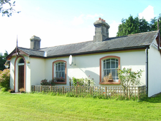 Inch Railway Stationstation master's house · 1231 yd
 CastleCastle, unclassified · 1.5 mi
 Ballyfad WoodWood · 2.4 mi
 Shirsheen WoodForest · 2.7 mi
 Arklow RockMountain / peak · 2.8 mi
 Clogga StrandBeach / strand · 2.8 mi
 Nuns BeachBeach / strand · 3.1 mi
 Tara HillMountain / peak · 3.4 mi
 Battle of Arklowbattle · 3.7 mi