DDiscover AloneMapAbout

Epworth

Manse
Epworth
Photo: Kenneth Allen, Geograph · CC BY-SA 2.0 · Report the wrong picture

This does not grant access. Most recorded buildings are privately owned; view them only from public ground unless the owner allows entry.

Recorded change of use
Originally manse; recorded by the architectural inventory as house
What do you know about this place?Tap to add a comment or ask a question

What you write will be public.

What is recorded here

Detached three-bay two-storey former Methodist manse, built c. 1900, having projecting central entrance bay surmounted by canted bow at first floor level. Now in use as a private dwelling. Hipped replacement natural slate roof having terracotta ridge and hip tiles, a central pair of smooth rendered chimneystacks with…

Read the whole record
Detached three-bay two-storey former Methodist manse, built c. 1900, having projecting central entrance bay surmounted by canted bow at first floor level. Now in use as a private dwelling. Hipped replacement natural slate roof having terracotta ridge and hip tiles, a central pair of smooth rendered chimneystacks with corbel course, and moulded rendered eaves cornice. Smooth rendered ruled-and-lined walls over projecting plinth course; moulded render sill courses to ground and first floor levels, render block-and-start quoins to corners of main building and to projecting porch at ground floor level. Paired square-headed window openings at ground floor level, set in segmental-headed architraved surround having central moulded mullion, and with decorative keystone detail over. Square-headed window openings at first floor level having plain raised rendered surrounds. Square-headed window openings to the side elevations (east and west) of entrance porch having rendered architraved surrounds. Replacement one-over-one pane sliding sash windows throughout. Round-headed door opening to the front face of porch (south) having render architraved surround, replacement timber door with fielded panels and with replacement spider’s web fanlight over. Doorway accessed by flight of six cement rendered steps. Situated on an elevated site to the west of Ballyshannon town centre. Set slightly back from the road with garden to front site (south). Bounded to the south by squared rubble stone wall having coping and decorative cast-iron railings over. Pedestrian gateway serving doorway comprising cast-iron gate post supporting decorative cast-iron gate. Modern vehicular entrance to the north, flanked by modern walls.
Despite recent renovations, this fine former Methodist manse retains its early form and much of its architectural character. The front elevation is enlivened by the extensive render decoration, particularly to the ground floor openings, the sill courses and by the eaves cornice. Replacement fittings have been chosen in consistency with the original design and do not detract substantially from its visual expression. This building forms part of a pair with the associated (former) Methodist chapel/meeting house (40852037) to the east, and is of historical interest as a tangible reminder of the religious diversity of south-east County Donegal in the late-nineteenth and early twentieth centuries. The attractive and complex cast-iron gate and railings add considerably to the setting and streetscape. This building was probably built in conjunction with the associated Methodist chapel/meeting house to the east, which was constructed in 1899, and may have been built to designs by the same architect -Thomas Elliott (c. 1833 – 1915). It remained in use as a manse until c. 1968, when the church went out of use as a place of worship. This building forms part of an interesting collection of structures along The Mall, and is an integral element of the built heritage of Ballyshannon.

From the Buildings of Ireland (National Inventory of Architectural Heritage) record 40852039

Places near here

Photo credits
  • Maker not stated on source page, directmap.irish
  • Kenneth Allen, Geograph · Creative Commons Attribution-ShareAlike 2.0
  • National Inventory of Architectural Heritage
  • Kenneth Allen, Geograph · CC BY-SA 2.0
  • Maker not stated on source page, kids.britannica.com
  • Highland Radio (publisher); individual photographer not stated, highlandradio.com
  • Kenneth Allen, Wikimedia Commons · CC BY-SA 2.0
  • Maker not stated on source page, ru.pinterest.com
  • Maker not stated on source page, www.flickr.com
  • Maker not stated on source page, www.stockvault.net
The Limit Bar And RestaurantRestaurant · 192 yd

Explorer Tom The Limit Bar And Restaurant is pushing its closing time to 20:45 on Fridays, which feels like a personal challenge to…

Ballyshannon Presbyterian ChurchChurch/chapel · 193 yd

Explorer Tom Ballyshannon Presbyterian Church is a Gothic Revival building with pinnacles and finials. It has a deep suspicion of…
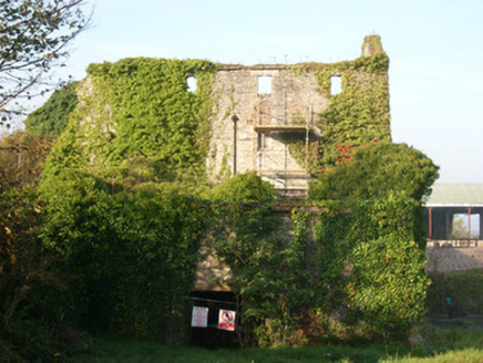
mill (water), distillery218 yd

Explorer Tom The Mill and Distillery in Carrickboy is derelict now, but I’m pretty sure a very determined dog has taken charge of…

Cafe BeagCafé · 224 yd

Explorer Tom Cafe Beag in County Donegal sounds tiny, like a cozy nook where you sit in someone’s living room. Its least favourite…

Dorrian's Imperial HotelHotel · 226 yd

Explorer Tom Dorrian’s Imperial Hotel sounds like it expects you to bow before entering its grand doors on Main Street. Check the…

McIntyre’s Saloon BarPub · 234 yd

Explorer Tom McIntyre’s Saloon Bar on The Mall in Ballyshannon is full of people walking faster than their pints can keep up. It…

Inish SamerIslet · 449 yd

Explorer Tom Inish Samer is sitting at the River Erne’s mouth, guarding two shards of black pottery. A whole ancient community…
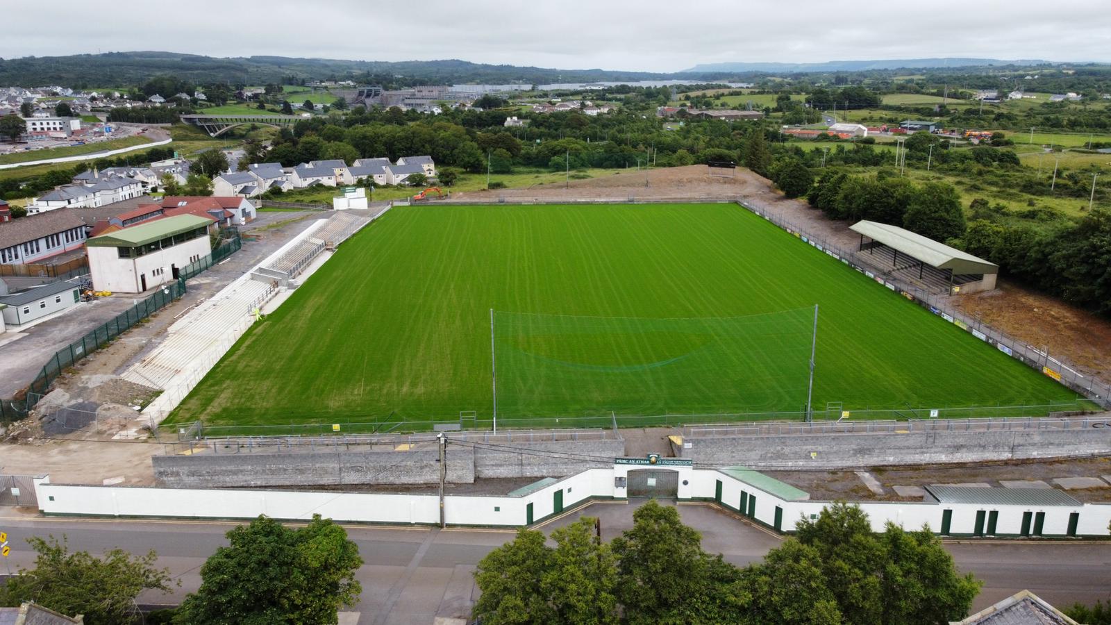
Father Tierney ParkGAA ground · 487 ydDungravenen Promontory FortPromontory fort, coastal · 554 yd

Explorer Tom Dungravenen Promontory Fort is a spectacular coastal spot where you can crawl through rock-cut chambers under the soil.…

Standing stone in Townparks (ballyshannon Ed)Standing stone · 732 yd

Explorer Tom Standing stone in Townparks has an imaginary fan club that meets every Tuesday to discuss its width-to-height ratio…

Cave in Abbey IslandCave · 916 yd

Explorer Tom Cave in Abbey Island was nearly sold to a farmer for a horse and a sack of oats, which would have been a terrible deal.…

Mapped cemeteryCemetery · 985 yd

Explorer Tom “Mapped cemetery” in County Donegal is currently being debated by the rabbits over whose burrow it actually belongs to.…

More historic places in County Donegal · All of County Donegal

Add to this placeAdd a picture Add a detailed tip Add a story

Explore the map1,095,414 places to discover

Next place · or swipeThe Limit Bar And Restaurant