What is recorded here
Situated on a natural rise, in pasture. Not depicted on the 1837 ed. OS 6-inch map or the revised 1913 ed. OS 25-inch map. Monument described in 1980 as a large, oval-shaped area (dims. 86m NNW-SSE; 60m NNE-SSW) defined by a scarp and with faint traces of a fosse at NW. The scarp is low and indistinct. The fosse is broad, shallow and poorly preserved. The interior rises from the perimeter towards the centre where there is a large stone lying on the surface. The interior is crossed by old cultivation ridges running roughly NE-SW, which do not appear in the field outside the earthwork. Old field banks intersect the exterior at SW and SE. A modern field fence runs outside the scarp from NNE-E. The precise nature of this earthwork is unclear and it could potentially be an enclosure or a natural rise which was scarped to provide a small field. There is a subrectangular-shaped earthwork enclosed by the remains of an earthen bank, to NW. This is on the S side of a long, curvilinear field bank and may be an old field. Monument is clearly visible as a substantial oval-shaped earthwork on Digital Globe aerial photography.
Compiled by: Alison McQueen, Vera Rahilly and Caimin O’Brien
Date of upload: 12 February 2019
The monument record does not grant public access. Check the route and ask the landowner before entering private land.
- What survives
- Recorded monument
Places near here
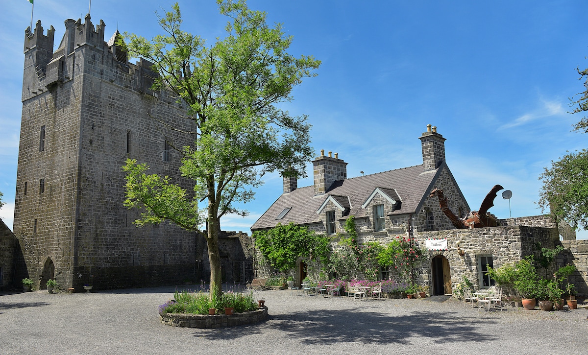 CastleCastle, ringwork · 610 yd
 Bawn in Tuitestown (moyashel & Magheradernon By.)Bawn · 656 yd
 Cross in Tuitestown (moyashel & Magheradernon By.)Cross · 748 yd
 Shanonagh Bridgebridge · 1041 yd
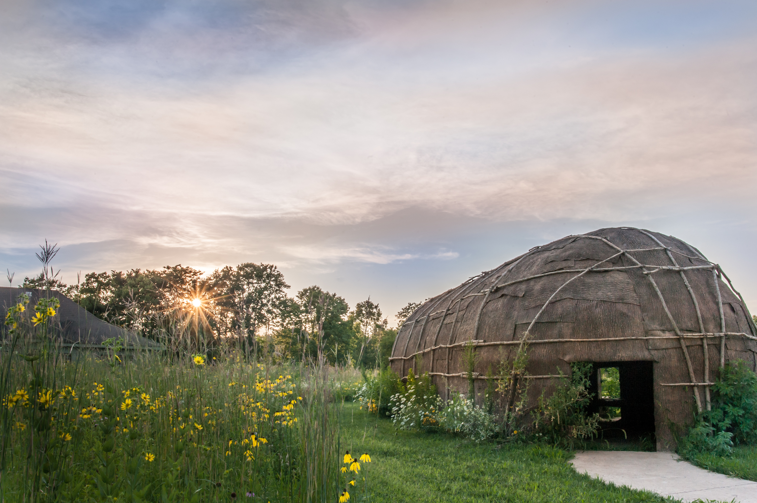 Enclosure in Tuitestown (moyashel & Magheradernon By.)Enclosure · 1526 yd
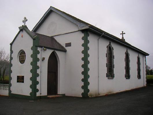 Catholic Church of the Little Flower and Our Lady of Good Counselchurch/chapel · 1553 yd
 WestmeathVisitor information · 1.2 mi
 Ancient Ring FortWood · 2.0 mi
 Carrickphilbin IslandIslet · 3.9 mi
 Srudarra IslandIslet · 4.0 mi
 Hill of UisneachMountain / peak · 4.8 mi
 Sessile OakSessile Oak · 8.4 mi