What is recorded here
Located towards the bottom of a NW-facing slope. The cropmark of a large circular enclosure (diam. c. 100m NE-SW; c. 95m NW-SE) defined by a slight fosse is visible only on Google Earth (14/07/2018). The perimeter is absent WNW-NNE and the interior is crossed by a N-S and a NW-SE relict field drains. It was first reported by Jean Charles Caillère.
See the attached enhanced aerial view from Google Earth
Compiled by: Michael Moore
Date of upload: 11 March 2020
A local fairy fort (ringfort/rath); wider significance not recorded.
The monument record does not grant public access. Check the route and ask the landowner before entering private land.
- What survives
- Recorded monument
Places near here
 Enclosure in TincurryEnclosure · 666 yd
 IndicatedFairy fort / earthen ringfort · 705 yd
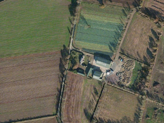 Tincurry Cottagefarm house · 865 yd
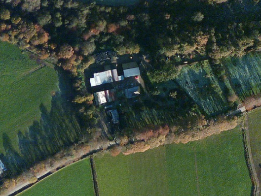 Dellfarm house · 1582 yd
 CastleCastle, unclassified · 1.7 mi
 European LarchEuropean Larch · 3.6 mi
 Pedunculate OakPedunculate Oak · 3.6 mi
 U.N. Peace MemorialMonument · 4.8 mi
 Battle of Vinegar Hill, 1798Monument · 4.8 mi
 Duffry GateMemorial · 4.9 mi
 Vinegar HillMountain / peak · 4.9 mi
 Battle of Vinegar HillMajor battlefield · 4.9 mi