What is recorded here
Visible on aerial photographs (ACAP: V221, 145-46) as two concentric circular features situated on a rise in a flat E-W valley with E-W ridges c. 500m to the N and S. This is a circular grass-covered mound (diam. 24m E-W; 23m N-S; H 0.3-1m) surrounded by a berm (Wth 3-15m) defined by a slight scarp (H c. 0.1m). This is on the perimeter at SW of a circular enclosure (diam. c. 90m) defined by the narrow vegetation mark of a fosse, but this feature is not visible at ground level. It may be an elaborate ceremonial enclosure. Rath (RO009-019----) is c. 130m to the NNW.
Compiled by: Michael Moore
Date of upload: 24 August 2010
The monument record does not grant public access. Check the route and ask the landowner before entering private land.
- What survives
- Recorded monument
Places near here
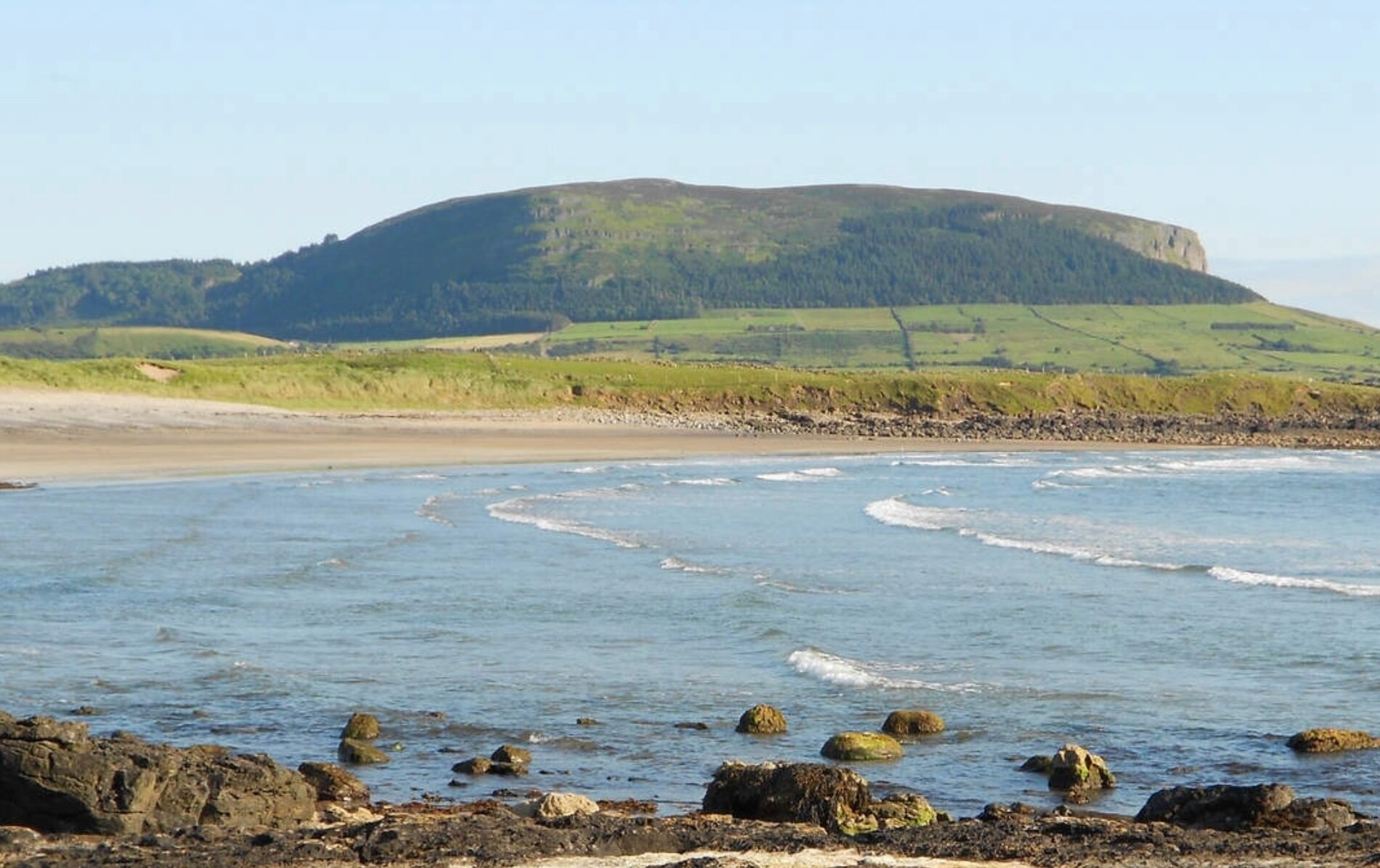 ToberaraghtHoly well · 964 yd
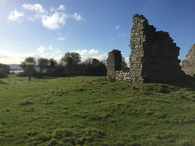 Enclosure in Tonroe OR FeenaghEnclosure · 1171 yd
 Religious houseReligious house, unclassified · 1582 yd
 Kilnamanagh Church (in Ruins)Church · 2.4 mi
 Square WoodForest · 2.9 mi
 Gray's WoodForest · 2.9 mi
 Rose PointHeadland · 3.0 mi
 Bawn IslandIslet · 3.1 mi
 CastleBawn · 3.1 mi
 Castle (in Ruins)Castle, unclassified · 3.3 mi
 Inch IslandIslet · 3.4 mi
 Castle PointHeadland · 3.4 mi