
What is recorded here
A large roughly circular enclosure (diam. c. 140m N-S; c. 145m E-W) identified by Lidar commissioned by Transport Infrastructure Ireland (pers. comm. Simon Dowling 6 December 2017) and visible on Digitalglobe (https://binged.it/2BNrS2v). Though not indicated on any edition of the 6-inch OS maps, the townland boundary on the 1st (1840) ed. 6-inch OS map and a field boundary run along the SW quadrant of monument. By the 2nd end the course of the townland boundary had slightly altered and now comes to a point at the S sector of the monument. A fosse is only visible in the SW quadrant and its preservation may be due to its former inclusion in the townland and field boundaries.
Compiled by: Jean Farrelly
Date of upload: 11 December 2017
The monument record does not grant public access. Check the route and ask the landowner before entering private land.
- What survives
- Recorded monument
Places near here
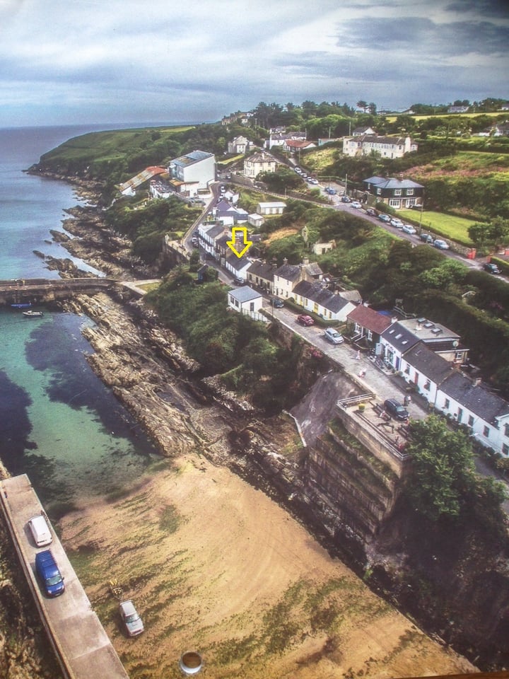 Embanked enclosureFairy fort / ringfort · 828 yd
 Ardmore Open FarmHeritage attraction · 837 yd
 Garrane FortFairy fort / ringfort · 1608 yd
 Church (in ruins)Church · 1.2 mi
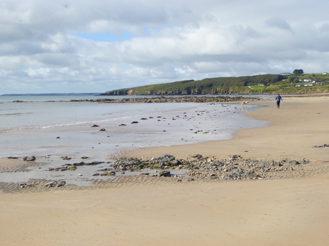 Whiting BayBeach / strand · 1.3 mi
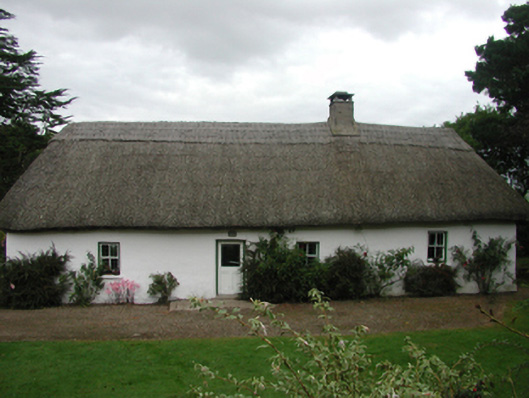 The Farmhousefarm house · 1.4 mi
 Site of CastleCastle, unclassified · 1.6 mi
 Goat Island beachBeach / strand · 1.7 mi
 Cabin PointHeadland · 2.1 mi
 Kilmaloo LoughWood · 2.2 mi
 Ferry PointViewpoint · 2.9 mi
 White Gables Art StudioGallery · 3.2 mi
Other information
Photo: Credit not shown in the picture search · Rights wording not checked; contact us if this picture should be removed