What is recorded here
Situated in grassland with ringfort (LI010-048----) 375m to NNE, ringfort (LI010-052---) 200m to E, ringfort (LI010-053----) 200m to S, ringfort (LI010-051----) 260m to W. Site located at meeting point of two townland boundaries with Ballynagall and Ballygilchrist.
Outline of large enclosure (approx. int. diam. 90m N-S) defined by a semi-circular shaped ditch visible from S-W-N on Digital Globe aerial photograph. No visible trace of cropmark on E side of enclosure where it is intersected by a modern road running NW-SE which marks the townland boundary with Ballynagall. Post-1700 field fence running NE-SW intersects enclosure at S. Cropmark of monument visible on earlier OSI aerial photographs.
Compiled by: Caimin O'Brien based on details kindly provided by Tom Condit
Date of upload: 4 October 2018
This remains an important historical record, but the official description says the monument is no longer visible or has been destroyed. The monument record does not grant public access. Check the route and ask the landowner before entering private land.
- What survives
- No visible remains or recorded as destroyed
Places near here
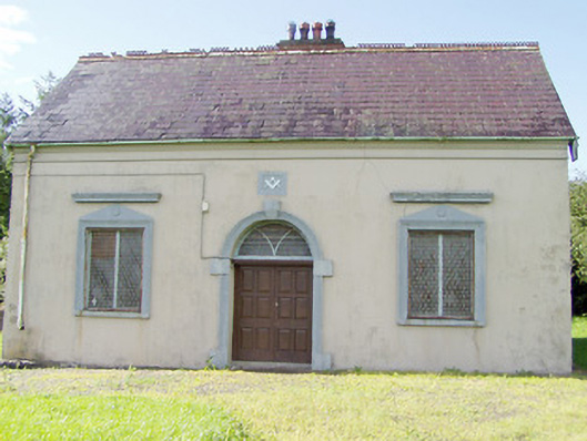 Granard Masonic Hallmasonic lodge/hall · 863 yd
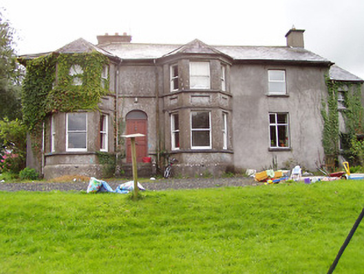 Fernmounthouse · 1035 yd
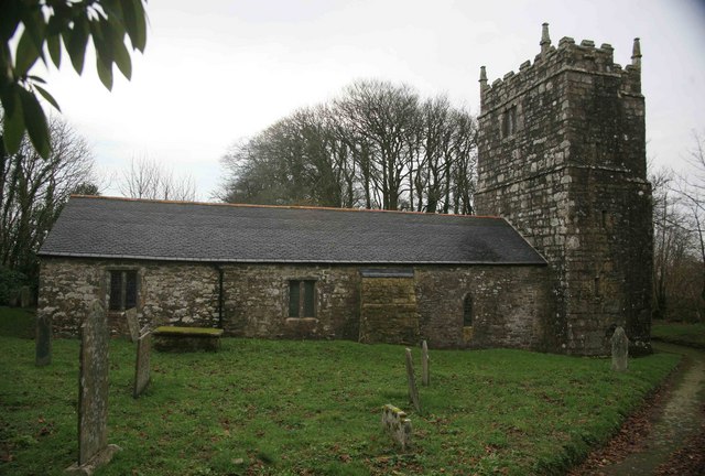 Grave YardGraveyard · 1258 yd
 Site of Old Town of GranardSettlement deserted, medieval · 1295 yd
 Granard MotteMotte-and-bailey castle remains · 1352 yd
 CastleCastle, unclassified · 1357 yd
 Moat of GranardCastle, motte and bailey · 1380 yd
 1798 Monumentmonument · 1388 yd
 CartronfreeMountain / peak · 3.1 mi
 Clonfin Ambush MemorialMemorial · 3.2 mi
 Derrycassan WoodsWood · 3.3 mi
 Cloonfin WoodForest · 3.3 mi