What is recorded here
Situated in a fairly low-lying landscape, it is not depicted on any map. Aerial photographs taken by Leo Swan and made available courtesy of Katherine Daly show a large subcircular grass-covered enclosure (dims c. 90m NE-SW; c. 80m NW-SE) probably defined by a fosse. It is also visible on aerial images (OSAP 1995) and on Google Earth (19/04/2008) but its visible profile may have become eroded after that date. The large enclosure (ME016-058----) is c. 160m to the SE, and both may have been enclosed woods on the demesne of Drumbaragh.
Compiled by: Michael Moore
Date of upload; 5 February, 2019
The monument record does not grant public access. Check the route and ask the landowner before entering private land.
- What survives
- Recorded monument
Places near here
 Castlepole ForestForest · 832 yd
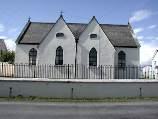 Drumbaragh National Schoolschool · 1081 yd
 Enclosure in Rathbrack (kells Upper By., Dulane Par.)Enclosure · 1133 yd
 ChapelChurch · 1697 yd
 Grave YardGraveyard · 1707 yd
 The PaleWood · 1.1 mi
 The Kieran Flanagan WayMemorial · 1.1 mi
 The Pauper's CemeteryMemorial · 1.2 mi
 MoatCastle, motte and bailey · 1.6 mi
 MountainpoleMountain / peak · 1.7 mi
 MaperathMountain / peak · 2.0 mi
 Balgree MoteCastle, motte · 3.3 mi