What is recorded here
In tillage. A large enclosure (int. diam. c. 70m) identified as a cropmark by Faith Bailey and Simon Dowling on satellite imagery (Google Earth Pro, imagery date 14 July 2018). The enclosure is defined by a very wide fosse (Wth c. 10m). The fosse in the N quadrant is truncated by a field boundary running NE-SW across it. A mound barrow (CW008-034----) is located c. 80m to the NE and a motte and bailey (CW008-033001-) is located c. 300m to the W.
See attached image:
CW008-090----_01 Google Earth Pro Image © 2019 CNES/Airbus
Compiled by: Jean Farrelly
Date of upload: 21 October 2019
The monument record does not grant public access. Check the route and ask the landowner before entering private land.
- What survives
- Recorded monument
Places near here
 Castlemore MoatArchaeological place · 393 yd
 Castlemore Housecountry house · 1118 yd
 Enclosure in RathnashannaghEnclosure · 1360 yd
 Enclosure in GrangefordEnclosure · 1576 yd
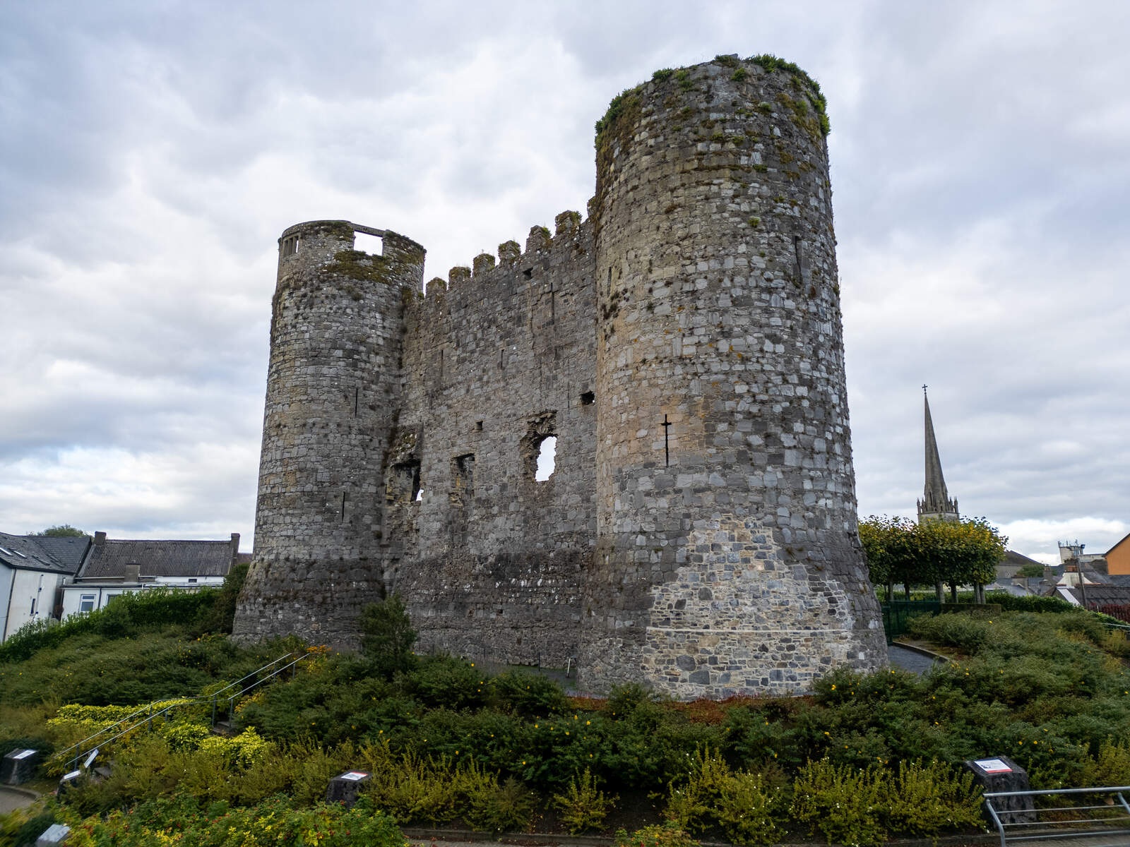 CastleCastle, motte · 1.4 mi
 Coppenagh CastleCastle, tower house · 1.8 mi
 European ashEuropean ash · 1.9 mi
 Kilmurry Church (in ruins), GraveyardChurch · 3.3 mi
 Duckett's GroveHeritage attraction · 3.8 mi
 Rath WoodForest · 4.1 mi
 Church (in ruins), Cross, GraveyardChurch · 4.1 mi
 Brownshill Portal TombVisitor information · 5.0 mi