What is recorded here
Situated on the plateau of a low hillock, in gently undulating pasture, with good views of Lough Ennell to SE. Ringfort (WM025-023----) lies c. 180m to SW. Not depicted on the 1837 ed. OS 6-inch map or the revised 1913 ed. OS 25-inch map. Levelled monument described in 1981 as a former system of earthworks of which very little trace now remains due to land reclamation. Some faint traces of earthworks are evident although they form no coherent pattern. There are slight traces of a bank, which may have formed an enclosure on the shoulder of the hillock. There are some ridges and hollows at the NW corner of the plateau. There are two almost parallel banks running roughly N-S which may have formed part of an enclosure. Curving filed boundary of possible large enclosure clearly visible on oblique aerial photograph (CUCAP AOZ009) taken 12/07/1966.
Compiled by Alison McQueen, Vera Rahilly and Caimin O’Brien.
Date of upload: 05 September 2019
The monument record does not grant public access. Check the route and ask the landowner before entering private land.
- What survives
- Recorded monument
Places near here
 Tober FintanHoly well · 830 yd
 IndicatedFairy fort / earthen ringfort · 1078 yd
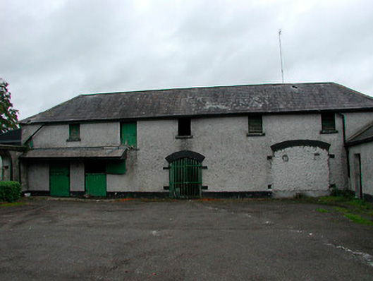 Barrettstown Houseoutbuilding · 1.0 mi
 Greenpark Housegates/railings/walls · 1.1 mi
 Bawn in Tuitestown (moyashel & Magheradernon By.)Bawn · 1.2 mi
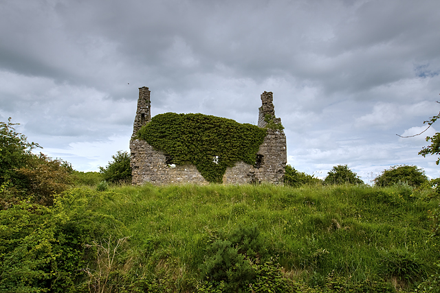 Dundonnell CastleCastle, unclassified · 1.2 mi
 Ancient Ring FortWood · 1.6 mi
 Ash IslandIslet · 2.2 mi
 Dysart IslandIsland · 2.5 mi
 Hill of UisneachMountain / peak · 4.7 mi
 Sessile OakSessile Oak · 9.1 mi
 Bonfire HillMountain / peak · 9.9 mi