What is recorded here
Situated on a rise in a gently undulating landscape. The cropmark of a large subcircular area (dims c. 90m NW-SE; c. 75m NE-SW) defined by a single slight fosse or drain is visible only on Google Earth (23/03/2022). The perimeter was incorporated into a curving field bank SW-NW that is represented on the 1838 and 1908 editions of the OS 6-inch map. It was first reported by Jean Charles Caillére.
See the attached enhanced view from Google Earth (23/03/2022)
Compiled by: Michael Moore
Date of upload: 25 January 2023
The monument record does not grant public access. Check the route and ask the landowner before entering private land.
- What survives
- Recorded monument
Places near here
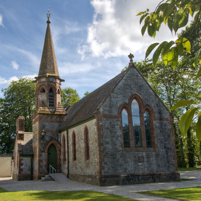 Church in BrannockstownChurch · 286 yd
 Enclosure in DerrinydalyEnclosure · 1231 yd
 CastleCastle, unclassified · 1.0 mi
 Enclosure in Castletown (moyfenrath Lower By.)Enclosure · 1.0 mi
 IndicatedChurch · 1.5 mi
 Wych ElmWych Elm · 2.9 mi
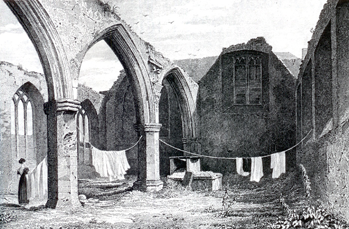 Portlester Ho.Castle, unclassified · 3.7 mi
 Common LimeCommon Lime · 3.7 mi
 Cloncurry GraveyardHeritage attraction · 6.8 mi
 Old Bog Road made famous by Teresa Bryton 1868-1943Memorial · 7.0 mi
 Croppies' GraveMemorial · 7.9 mi
 Kilgar GardensHeritage attraction · 8.0 mi