What is recorded here
Situated in a slight hollow in a fairly level landscape. A circular grass-covered enclosure (diam. c. 75m N-S; c. 75m E-W) defined by a grass-covered fosse or drain (Wth c. 5-10m) is visible on Google Earth (05/10/2009; 17/01/2020) and OSI Premium images. There is a low mound (diam. c. 20m) inside the perimeter at SW, and a relict field drain enters the fosse at NW. It was first reported by Jean Charles Caillere.
See the attached enhanced view from Google Earth (2020)
Compiled by: Michael Moore
Date of upload: 4 June 2020
The monument record does not grant public access. Check the route and ask the landowner before entering private land.
- What survives
- Recorded monument
Places near here
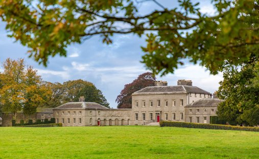 Ballynadrimna HouseRuins · 921 yd
 MoatCastle, motte and bailey · 1043 yd
 IndicatedFairy fort / earthen ringfort · 1.3 mi
 Carrantstown CastleCastle, unclassified · 1.4 mi
 Concentric enclosure in Ballyboy (lune By., Athboy Par.)Concentric enclosure · 1.5 mi
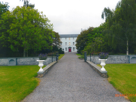 Parkstown Housecountry house · 2.3 mi
 FraineMountain / peak · 2.5 mi
 ScregganWood · 2.9 mi
 Persian WalnutPersian Walnut · 5.3 mi
 Croppies' GraveMemorial · 9.0 mi
 The New Line RoadMemorial · 9.7 mi
 BohermeenMountain / peak · 9.8 mi