
What is recorded here
Located on a fairly level landscape. A circular grass-covered enclosure (diam. c. 80m), probably defined by a fosse, is visible on Map Genie (1995). It is within a larger enclosure (diam. c. 150m), again probably defined by a fosse that can only be traced N-ESE on the same image but relict drains extend NNW and NNE from this outer feature. The enclosures can also be viewed on Map Genie (2013-18) where the outer feature can also be seen extending ESE-SW. It was first reported by Katherine Daly.
See the attached views from (_01) Map Genie (1995) and (_02) Map Genie (2013-18)
Compiled by: Michael Moore
Date of upload: 8 October, 2018
The monument record does not grant public access. Check the route and ask the landowner before entering private land.
- What survives
- Recorded monument
Places near here
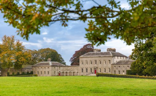 Ballynadrimna HouseRuins · 1742 yd
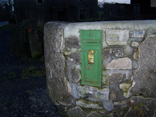 post boxpost box · 1.3 mi
 FraineMountain / peak · 1.3 mi
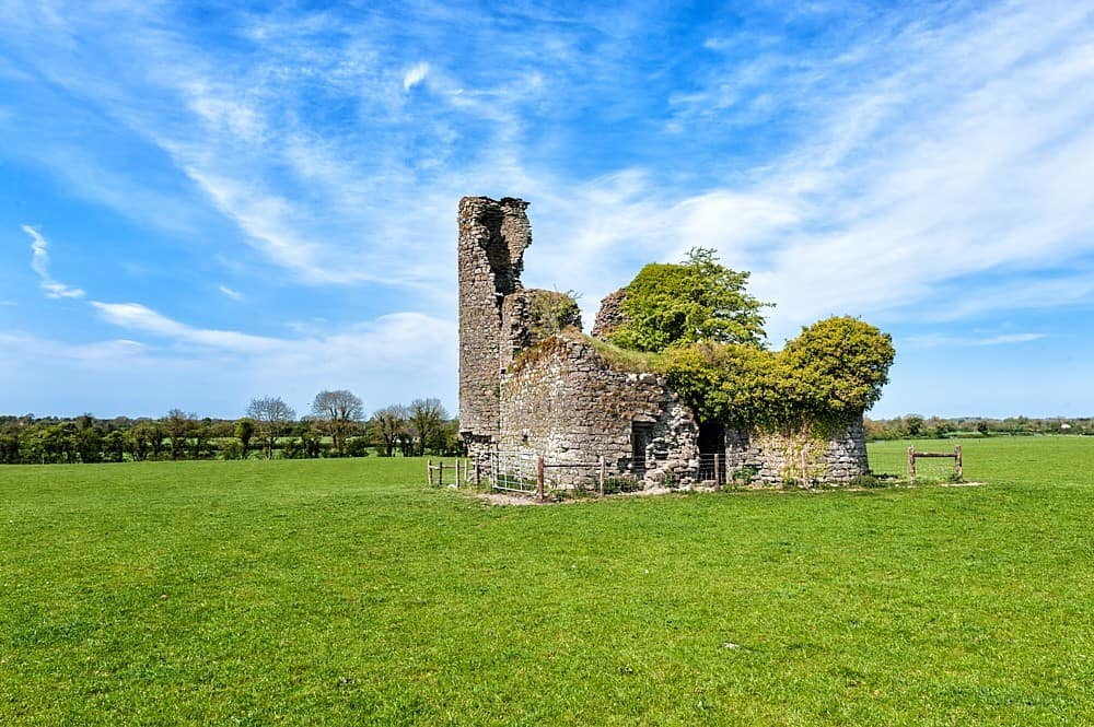 CastleCastle, tower house · 1.3 mi
 Fraine CastleCastle, tower house · 1.5 mi
 Fort woodedFairy fort / earthen ringfort · 1.6 mi
 IndicatedFairy fort / earthen ringfort · 1.9 mi
 Persian WalnutPersian Walnut · 4.0 mi
 European YewEuropean Yew · 4.1 mi
 Drewstown LittleMountain / peak · 5.0 mi
 The New Line RoadMemorial · 8.8 mi
 Zip WireHeritage attraction · 12 mi
Other information
Photo: Credit not shown in the picture search · Rights wording not checked; contact us if this picture should be removed