What is recorded here
Situated on poorly drained land at the N and W edges of a bog. Described as an irregular-shaped earthwork defined by a scarp covered in dense scrub (OPW files, 1970). Levelled during a land improvement scheme in the early 1970s. Not visible at ground level. Depicted as a roughly D-shaped enclosure (approx. dims. 60m N-S x 75m NE-SW) on 1837 ed. OS 6-inch map with field immediately to NW annotated 'Shanvally'. The fields to the WNW of 'Shanvally' have been annotated 'Ballybreen' on the OS map. The townland of Ashpark was previously called 'Ballybreen' as depicted on the 1657 Down Survey map of the barony of Lower Ormond (NLI, MS 721). Curving ditch of enclosure visible from E-S on Google Earth aerial photograph taken 25/03/2017. Existing curve in field boundary on W side of enclosure may incorporate original bank of enclosure.
See attached Google Earth photograph taken 25/03/2017
The above description is derived from 'The Archaeological Inventory of County Tipperary. Vol. 1 - North Tipperary' compiled by Jean Farrelly and Caimin O'Brien (Dublin: Stationery Office, 2002). In certain instances the entries have been revised and updated in the light of recent research.
Compiled and revised by: Caimin O'Brien
Date of revised upload: 21 January 2020
The monument record does not grant public access. Check the route and ask the landowner before entering private land.
- What survives
- Recorded monument
Places near here
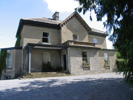 Somerset Househouse · 1340 yd
 Enclosure in AbbevilleEnclosure · 1522 yd
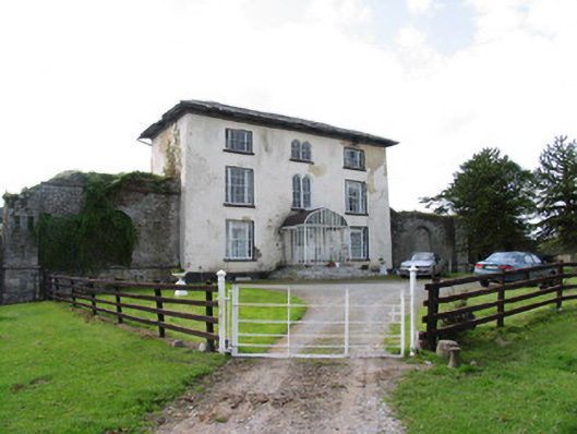 Abbeville Househouse · 1680 yd
 Enclosure in LissernaneEnclosure · 1.1 mi
 Lackeen castle (in ruins)Castle, tower house · 1.4 mi
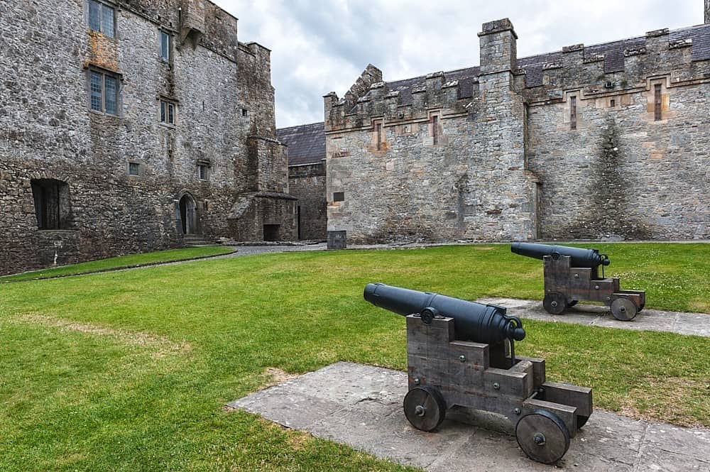 Castle, Kilcarren Ho.Castle, unclassified · 1.6 mi
 Lumcloon WoodWood · 1.8 mi
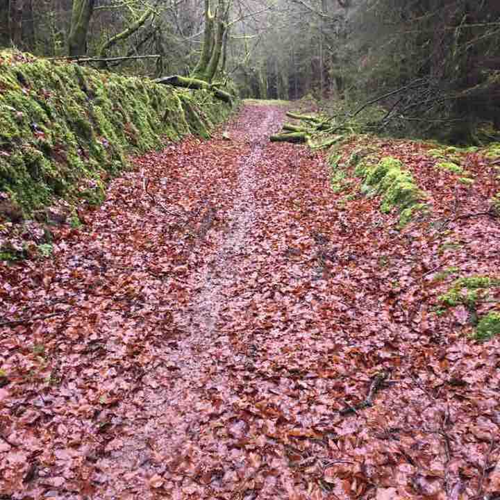 Killeen WoodWood · 4.6 mi
 Portland IslandIsland · 5.8 mi
 Long IslandIsland · 6.1 mi
 Banagher MarinaHeritage attraction · 8.6 mi
 MacDonagh HouseMemorial · 9.1 mi
Other information
Photo: Credit not shown in the picture search · Rights wording not checked; contact us if this picture should be removed