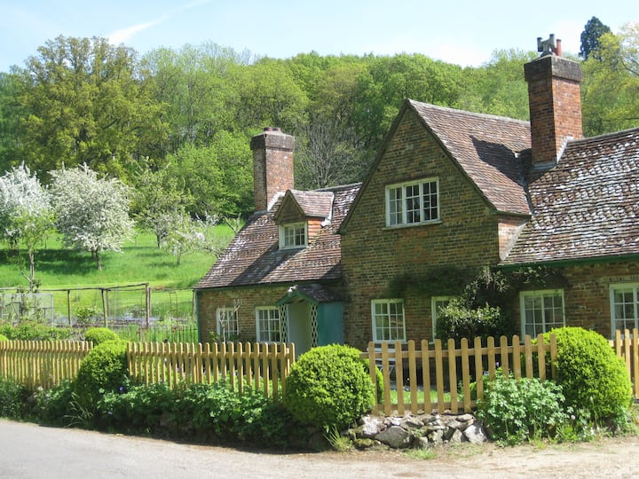
What is recorded here
Enclosure in Woodlands East, County Kildare, Ireland, is an incomplete curvilinear enclosure defined by three fosses, cut east-west by a modern field boundary. Dr. Gillian Barrett identified it during a 1991 aerial photographic survey, yet quarrying destroyed it between 2000 and 2005. Its inner ditch continued north into adjacent arable land, now swallowed by the quarry. What remained was a shadow in soil and memory, not a shape anyone could walk beside.
Located due south of two other enclosures (KD038-067---- and KD038-069----) and a ring-ditch (KD038-068----), all destroyed by quarrying between 2000 and 2005. All identified during an aerial photographic survey by Dr. Gillian Barrett in 1991. Aerial photograph (GB91.DX.38) shows the cropmark of an incomplete curvilinear enclosure defined by three fosses. Cut E-W by a modern field boundary, the inner ditch continues as a cropmark into the adjacent arable field to the N on the aerial photograph, which now falls within the apparent limits of the quarry.
Compiled by: Dr. Gillian Barrett
Date of upload: 12 December 2011
The monument record does not grant public access. Check the route and ask the landowner before entering private land.
- What survives
- Recorded monument
Places near here
 Enclosure in Woodlands EastEnclosure · 151 yd
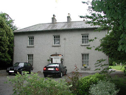 Woodlandshouse · 440 yd
 ProclamationMemorial · 1187 yd
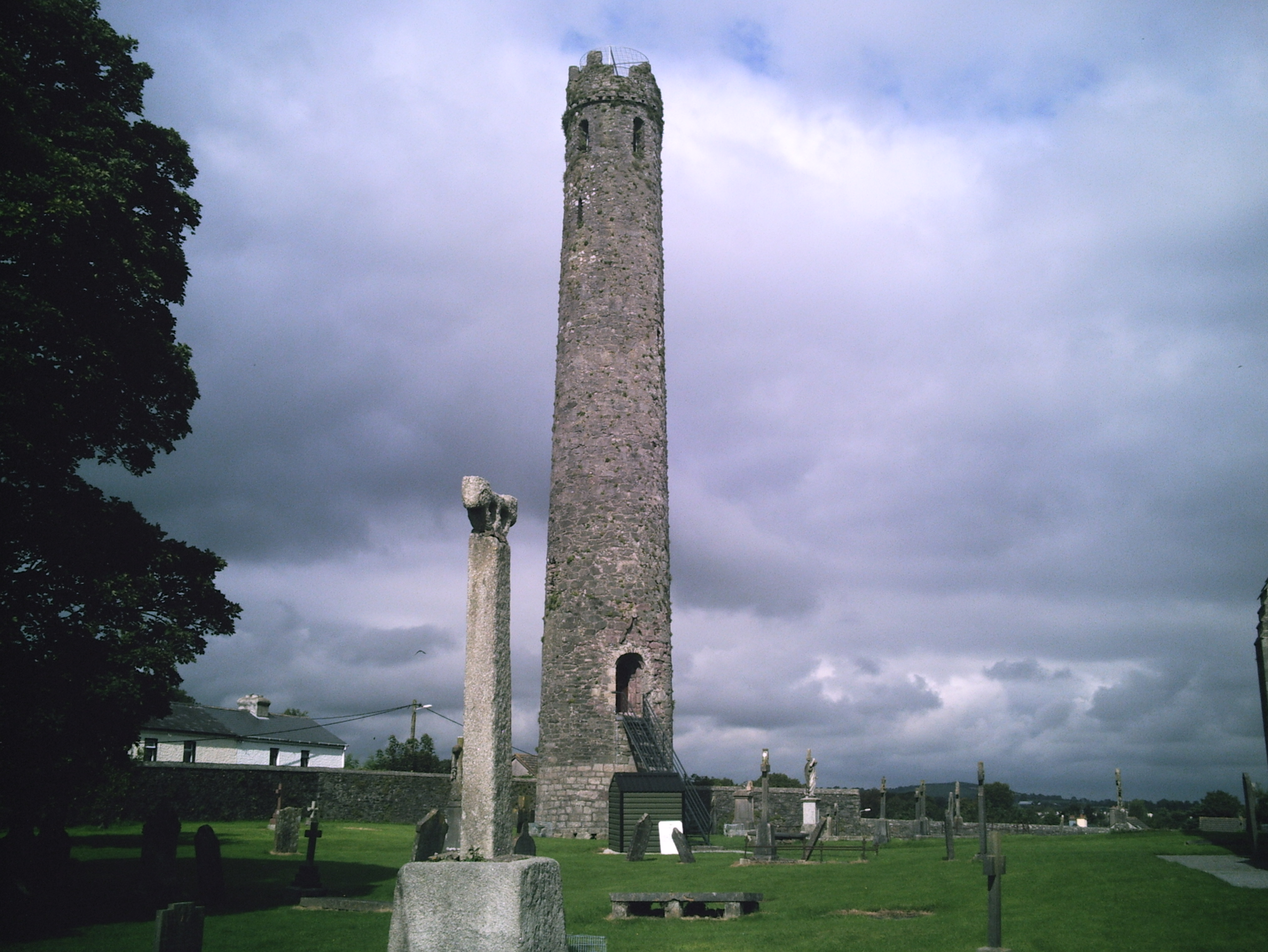 TowerReligious house, Fratres Cruciferi · 1210 yd
 St. Johns WellHoly well · 1436 yd
 Franciscan FriaryHeritage attraction · 1577 yd
 Castledermot Round TowerHeritage attraction · 1586 yd
 Lorcán Ó TuathailMemorial · 1.5 mi
 CastleCastle, ringwork · 1.5 mi
 Mullaghreelan WoodForest · 1.7 mi
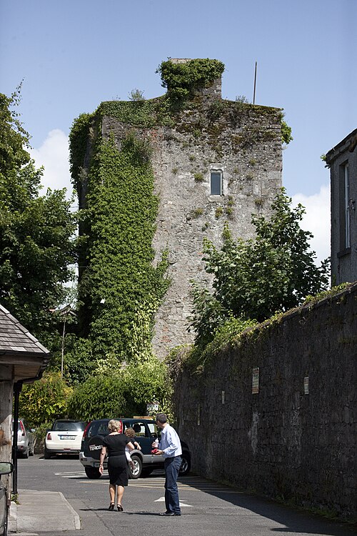 Kyledrumman Castle (in ruins)Castle, unclassified · 1.9 mi
 European ashEuropean ash · 3.3 mi
Other information
Photo: Credit not shown in the picture search · Rights wording not checked; contact us if this picture should be removed