What is recorded here
Identified during an aerial photographic survey by Dr. Gillian Barrett in 1991. Aerial photograph (GB91.DX.09) shows the cropmark of a curvilinear enclosure defined by a fosse. The enclosure is almost circular but the fosse extends outwards slightly to the south-west and at that point, within the enclosure, a defined pit is located. A ring-ditch (KD038-068----) lay immediately outside to the W. The monuments were plough-levelled when photographed in 1991, but have been destroyed by quarrying sometime between 2000 and 2005.
Compiled by: Dr. Gillian Barrett
Date of upload: 12 December 2011
The monument record does not grant public access. Check the route and ask the landowner before entering private land.
- What survives
- Recorded monument
Places near here
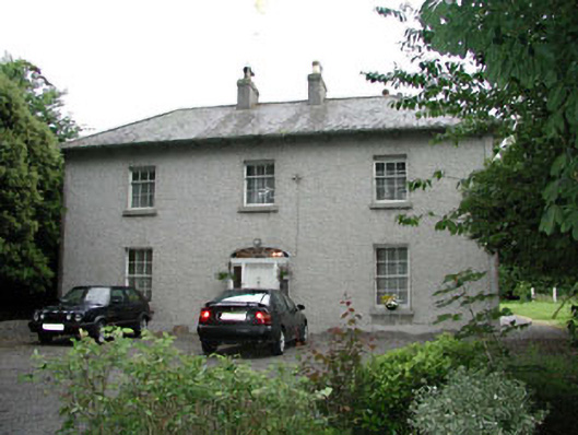 Woodlandshouse · 375 yd
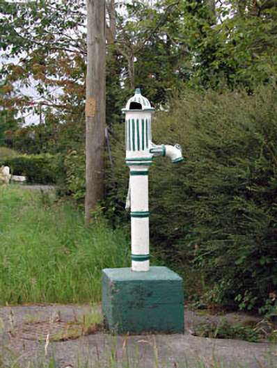 water pumpwater pump · 1069 yd
 ProclamationMemorial · 1337 yd
 St. Johns WellHoly well · 1539 yd
 Site of Town WallTown defences · 1606 yd
 Franciscan FriaryHeritage attraction · 1722 yd
 Castledermot Round TowerHeritage attraction · 1723 yd
 Lorcán Ó TuathailMemorial · 1.4 mi
 CastleCastle, ringwork · 1.5 mi
 Mullaghreelan WoodForest · 1.6 mi
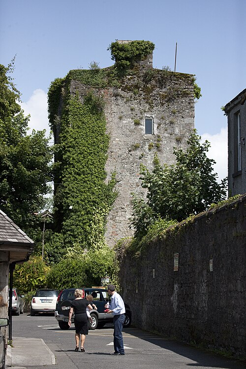 Kyledrumman Castle (in ruins)Castle, unclassified · 1.8 mi
 European ashEuropean ash · 3.3 mi
Other information
Photo: Credit not shown in the picture search · Rights wording not checked; contact us if this picture should be removed