What is recorded here
Located at the tip of a low W-S spur. The cropmark of a circular enclosure (diam. c. 20m) defined by a continuous fosse feature (Wth c. 2-3m) is visible only on Google Earth (12/07/2013). It was first reported by Mathew Mullen-Reynolds.
See the attached aerial view from Apple Maps
Compiled by: Michael Moore
Date of upload: 12 November 2019
The monument record does not grant public access. Check the route and ask the landowner before entering private land.
- What survives
- Recorded monument
Places near here
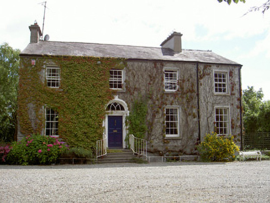 Walshestown Housecountry house · 362 yd
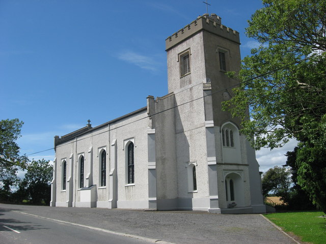 Catholic Church of Saint Peter and Saint Paulchurch/chapel · 622 yd
 Enclosure in RinkinstownEnclosure · 630 yd
 Enclosure in ParsonstownEnclosure · 1019 yd
 Chapel (in Ruins), GraveyardChurch · 1.2 mi
 Moneyveg WoodForest · 1.7 mi
 Graveyard in DysartGraveyard · 2.2 mi
 Sweet baySweet bay · 2.2 mi
 BarmeathCastle, tower house · 2.2 mi
 CastleCastle, motte · 2.6 mi
 Tullydonnell HillMountain / peak · 3.2 mi
 MonasterboiceEarly monastic site · 5.0 mi