What is recorded here
Cropmark of two concentric fosses of circular enclosure (diam. c. 25m) visible in aerial photograph (CASAP, July 1989). Possible entrance through outer fosse to E. Small rectangular annexe to SE; linear cropmark extends eastwards and then turns northwards on E side, possibly boundary of associated field. Outer fosse possibly overlain by enclosure (13812).
The above description is derived from the published 'Archaeological Inventory of County Cork. Volume 4: North Cork' (Dublin: Stationery Office, 2000). In certain instances the entries have been revised and updated in the light of recent research.
Date of upload/revision: 14 January 2009
The monument record does not grant public access. Check the route and ask the landowner before entering private land.
- What survives
- Recorded monument
Places near here
 Parkalissa (Site of)Fairy fort / earthen ringfort · 1043 yd
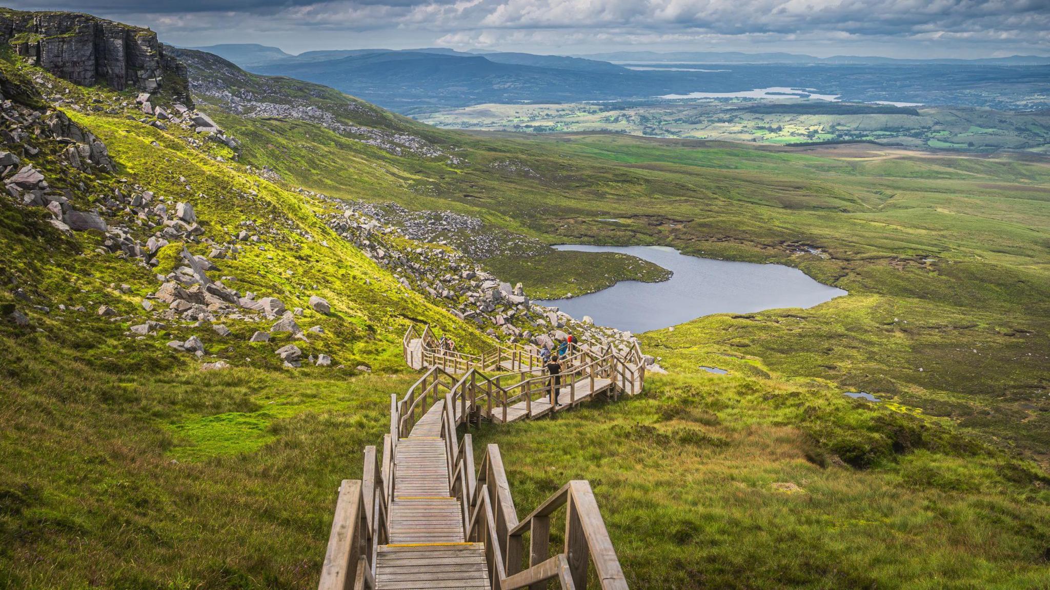 Folacht FiadhFulacht fia · 1186 yd
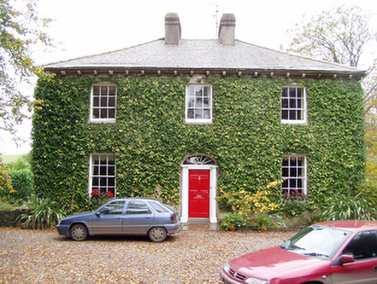 Wallstown Gleberectory/glebe/vicarage/curate's house · 1213 yd
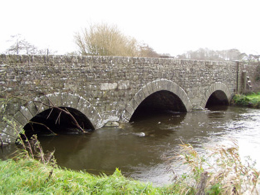 Ballinamona Bridgebridge · 1474 yd
 Shanballymore Castle (Site of)Castle, unclassified · 1.4 mi
 Shanagh Castle (Site of)Castle, unclassified · 1.6 mi
 Anne's Grove GardensHeritage attraction · 2.1 mi
 Pedunculate OakPedunculate Oak · 2.5 mi
 Scots PineScots Pine · 2.9 mi
 Smith's WellSpring · 3.5 mi
 Flat cemetery in Ballyenahan NorthFlat cemetery · 4.8 mi
 Blackwater (Avondhu) WayWalking route · 5.9 mi