
What is recorded here
Parkalissa was a fairy fort atop a North Cork ridge, overlooking the Awbeg River before ploughs erased its circular walls. The 1842 map still shows its thirty-metre frame, but only the field boundary remains visible in the pasture now. It vanished like a breath, leaving behind a flat green scar where human hands or fairy mischief once shaped the earth.
In pasture, atop crest of ridge, on NNE-facing slope, overlooking Awbeg River. Depicted as hachured circular enclosure (diam. c. 30m) on 1842 OS 6-inch map, bisected off-centre to N by E-W field boundary. Levelled; no visible surface trace; field boundary remains.
The above description is derived from the published 'Archaeological Inventory of County Cork. Volume 4: North Cork' (Dublin: Stationery Office, 2000). In certain instances the entries have been revised and updated in the light of recent research.
Date of upload/revision: 14 January 2009
The monument record does not grant public access. Check the route and ask the landowner before entering private land.
- What survives
- Recorded monument
Places near here
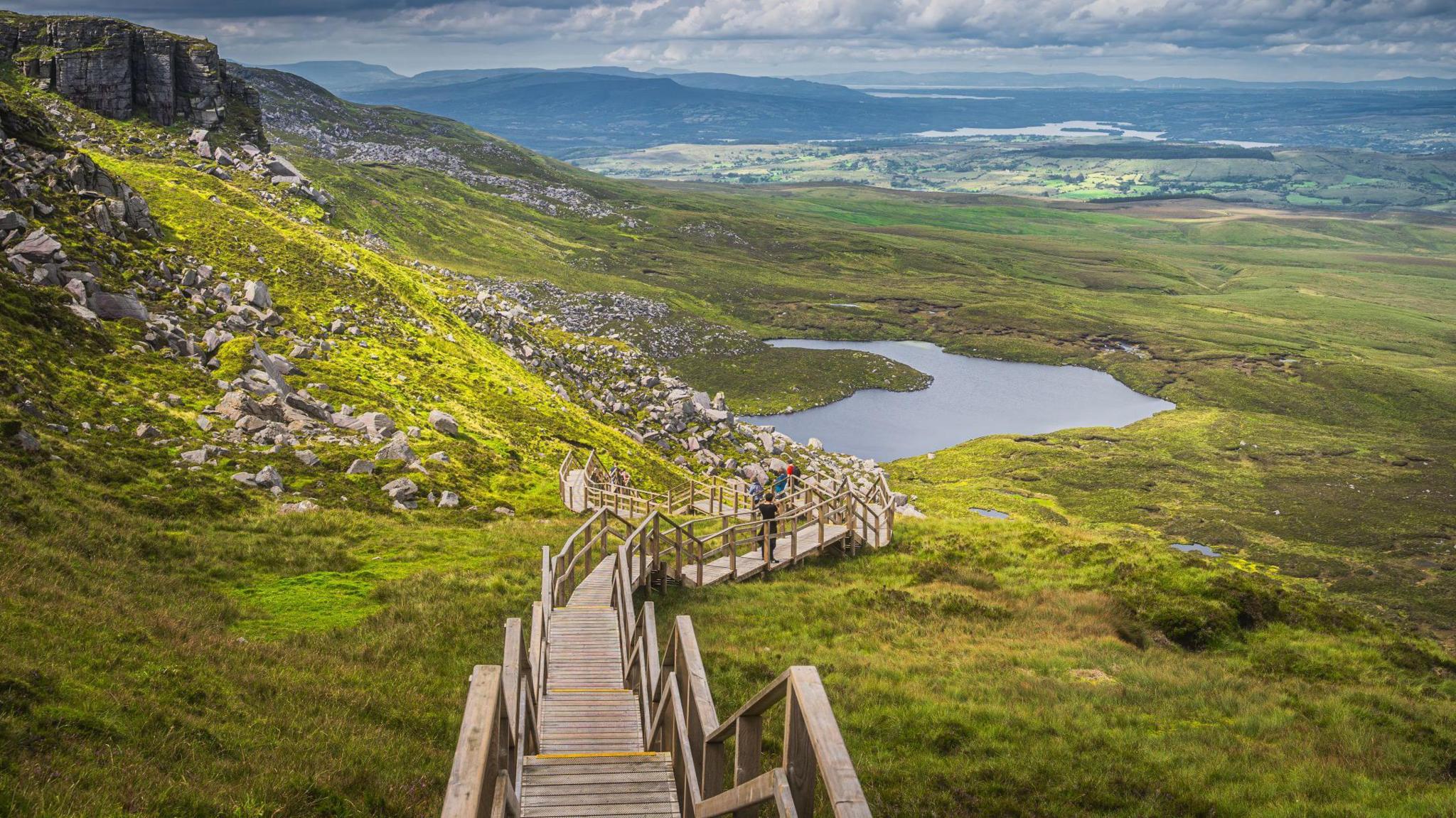 Folacht FiadhFulacht fia · 609 yd
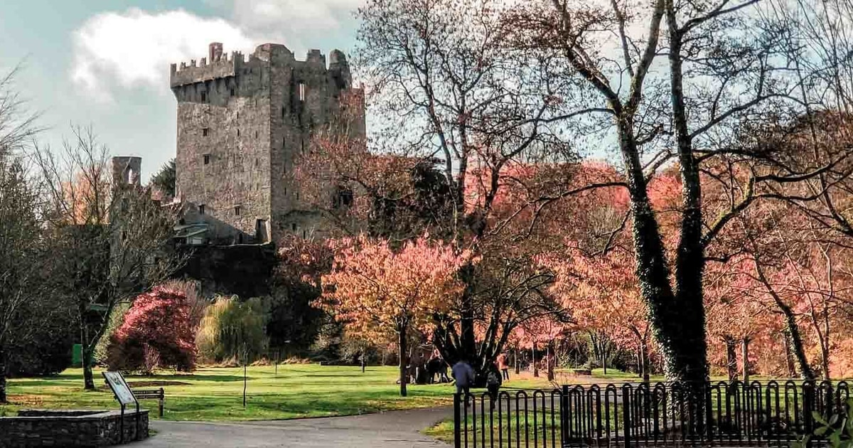 IndicatedMill, corn · 992 yd
 Prehistoric sitePrehistoric site, lithic scatter · 1082 yd
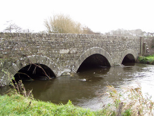 Ballinamona Bridgebridge · 1209 yd
 Shanagh Castle (Site of)Castle, unclassified · 1.3 mi
 Shanballymore Castle (Site of)Castle, unclassified · 1.7 mi
 Pedunculate OakPedunculate Oak · 2.2 mi
 Anne's Grove GardensHeritage attraction · 2.6 mi
 Scots PineScots Pine · 2.7 mi
 Smith's WellSpring · 3.1 mi
 Flat cemetery in Ballyenahan NorthFlat cemetery · 4.8 mi
 CarrigeenamronetyMountain / peak · 6.4 mi
Other information
Photo: Credit not shown in the picture search · Rights wording not checked; contact us if this picture should be removed