What is recorded here
On a natural terrace on a NE-facing slope in undulating terrain, under tillage. An enclosure identified as a circular cropmark on an aerial photograph (ASIAP (20), 11.07.2005). The ground rises slightly in the area of the enclosure, otherwise it is not visible at ground level.
Compiled by: Jean Farrelly
Date of upload: 26 August 2011
The monument record does not grant public access. Check the route and ask the landowner before entering private land.
- What survives
- Recorded monument
Places near here
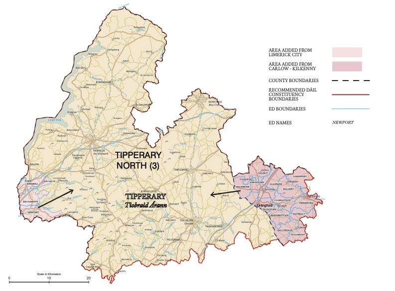 IndicatedEnclosure · 427 yd
 Black CastleCastle, hall-house · 770 yd
 St. Patricks WellHoly well · 1355 yd
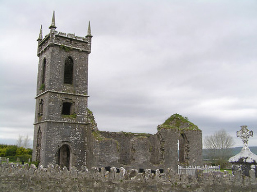 Fennor Churchchurch/chapel · 1707 yd
 Fennor Castle (in Ruins)Castle, unclassified · 1717 yd
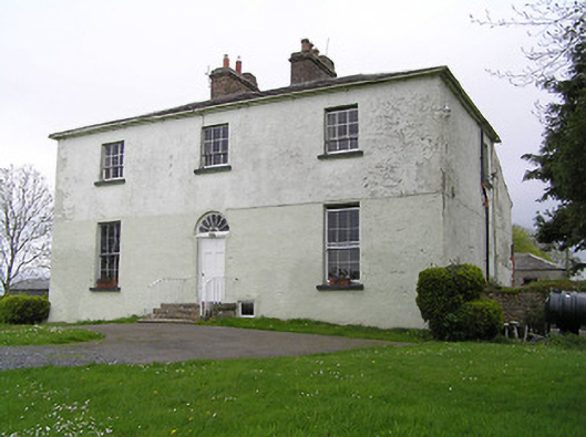 Glebe Houserectory/glebe/vicarage/curate's house · 1.1 mi
 KilcooleyForest · 2.1 mi
 Serpentine WoodForest · 2.3 mi
 John HelyMemorial · 3.3 mi
 DelaneyMemorial · 3.4 mi
 Clomantagh HillMountain / peak · 3.9 mi
 Bregaun HillMountain / peak · 4.2 mi