
What is recorded here
Situated on slight rise of ground near summit of low hill (OD 247) with townland boundary with Ummeras More 70m to N. Cropmark of a circular-shaped area (approx. diam. 45m) defined by a two concentric ditches are visible on ESRI aerial imagery. No surface remains visible.
See attached images provided courtesy of William Anderson
Compiled by: Caimin O'Brien based on details provided by William Anderson
Date of upload: 18 May 2020
A local fairy fort (ringfort/rath); wider significance not recorded.
The monument record does not grant public access. Check the route and ask the landowner before entering private land.
- What survives
- Recorded monument
Places near here
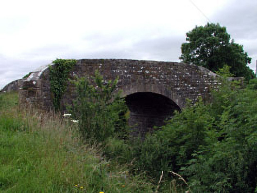 Ummeras Bridgebridge · 917 yd
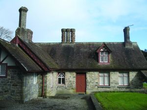 Enclosure in Coolsickin OR QuinsboroughEnclosure · 1508 yd
 Enclosure in Mullaghroe UpperEnclosure · 1622 yd
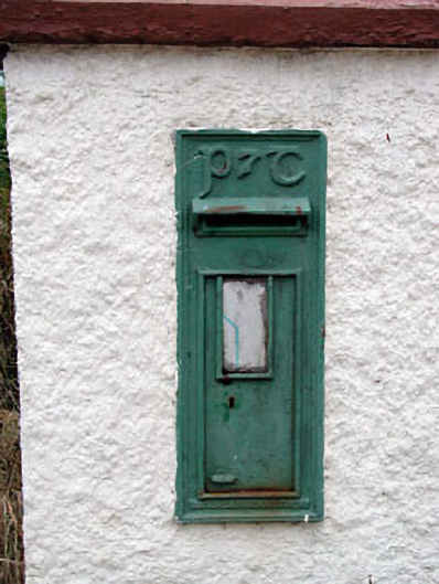 post boxpost box · 1.1 mi
 Offaly CastleCastle, tower house · 2.2 mi
 Bawn in Lackagh BegBawn · 2.8 mi
 Community OrchardNature reserve · 3.1 mi
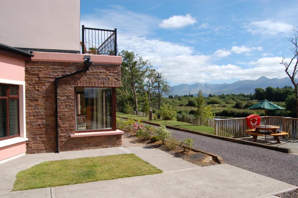 Lodge GroveWood · 3.2 mi
 Bithia Mary CrokerMemorial · 3.3 mi
 Church (in Ruins), GraveyardChurch · 5.8 mi
 Derryounce Walk (Yellow Loop)Walking route · 5.8 mi
 Bog Lake WalkWalking route · 5.9 mi
Other information
Photo: Credit not shown in the picture search · Rights wording not checked; contact us if this picture should be removed