
What is recorded here
In pasture, located on gently rising ground, just below the highest point with good views over the surrounding gently rolling limestone grassland. There is a rath (MA122-017001-) c. 200m to N, and a tower house (MA122-017002-) c. 140m to NE.
Circular area (30.5m N-S; c. 30m E-W) defined by a levelled bank, which can be traced as a low rise or undulation, with a few stones protrude randomly from it at N-E. The level interior is not noticeably raised above exterior ground level, except at E where there is a natural exterior fall in ground level.
Traces of cultivation ridges, on a N-S axis, can be seen traversing the interior, the levelled bank and the adjacent field. A property wall on a N-S axis overlies the bank at W. Remnants of a levelled field boundary can be discerned extending in a sinuous line to SW from the W side of the enclosure, and slight traces of an NE−SW field boundary merge with the bank at E. At E a small area of disturbance or past quarrying abuts the exterior of the levelled bank. There is a disused and grassed-over quarry pit, which appears as a large oval depression (max dim. c. 25-30m), immediately to NW of the enclosure, overlain by the junction of the N-S field wall and an E-W field wall.
Compiled by:Jane O'Shaughnessy
Date of upload: 23 April 2018
The monument record does not grant public access. Check the route and ask the landowner before entering private land.
- What survives
- Recorded monument
Places near here
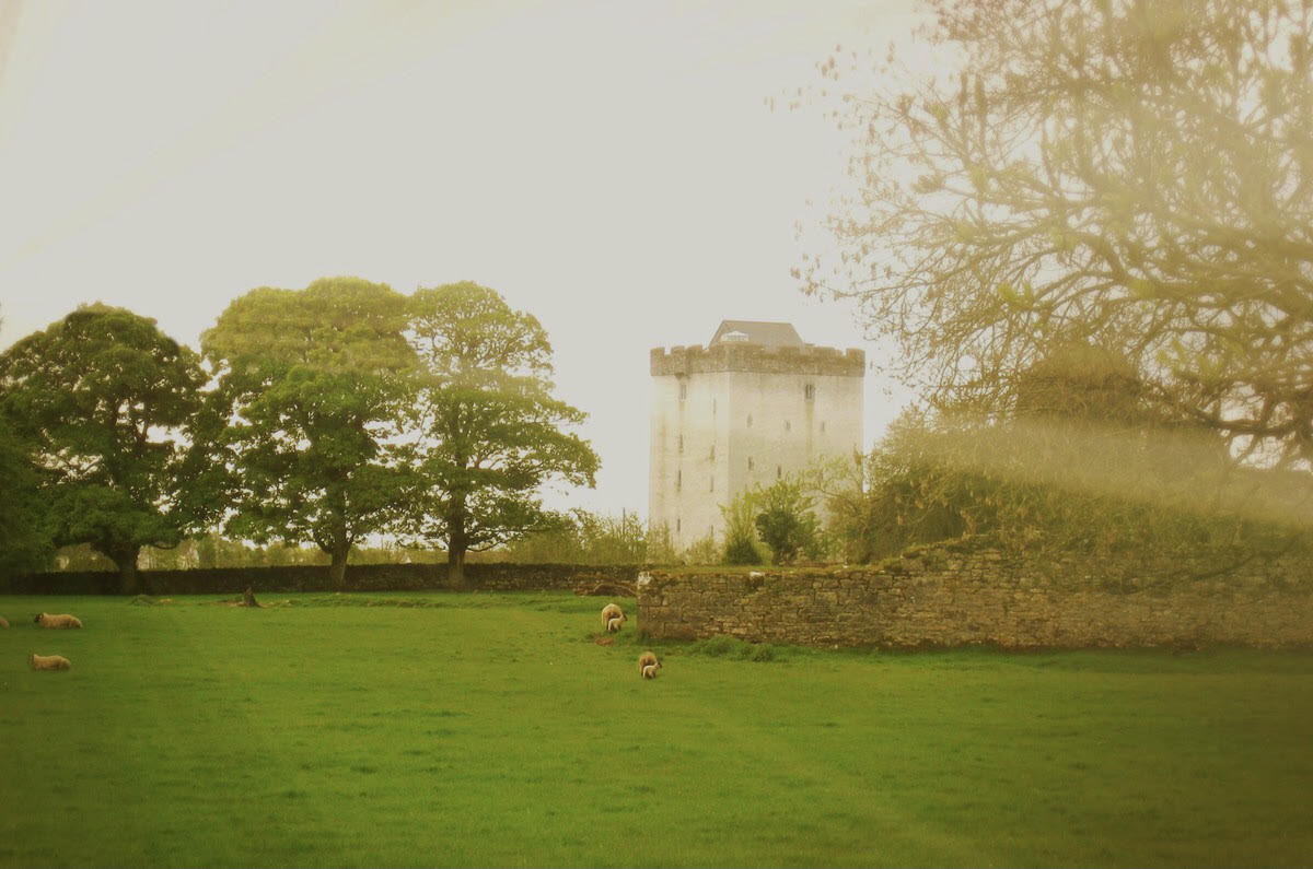 Castle in ruinsCastle, tower house · 172 yd
 IndicatedFairy fort / earthen ringfort · 250 yd
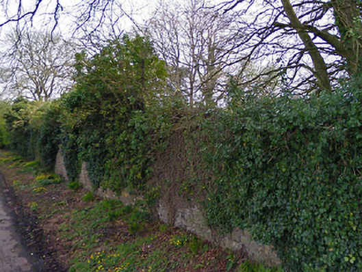 Turin Housewalled garden · 458 yd
 Enclosure in LisheenielagaunEnclosure · 1369 yd
 Bawn in Cregduff (kilmaine By., Kilmainemore Par.)Bawn · 1.3 mi
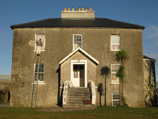 rectory/glebe/vicarage/curate's houserectory/glebe/vicarage/curate's house · 1.5 mi
 European YewEuropean Yew · 1.7 mi
 Cregg PlantationForest · 1.9 mi
 Mass RockNamed rock · 7.1 mi
 Inis Mhic an TrírIsland · 7.7 mi
 Otter IslandIslet · 8.0 mi
 School of FalconryHeritage attraction · 8.3 mi
Other information
Photo: Credit not shown in the picture search · Rights wording not checked; contact us if this picture should be removed