
What is recorded here
In tillage. A sub-circular enclosure (diam. c. 30m) identified as the cropmark of a fosse on an aerial photograph (CUCAP AID084, 22 July 1963).
See attached:
KK026-004----_01 aerial photograph (CUCAP AID084, 22 July 1963).
Compiled by: Jean Farrelly
Date of upload: 9 May 2022
A local fairy fort (ringfort/rath); wider significance not recorded.
The monument record does not grant public access. Check the route and ask the landowner before entering private land.
- What survives
- Recorded monument
Places near here
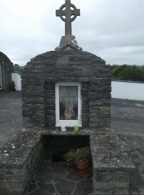 Holy WellHoly well · 682 yd
 Church in Tullamaine (ashbrook)Church · 1005 yd
 CastleCastle, ringwork · 1162 yd
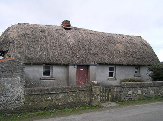 Dixon's Cottagefarm house · 1445 yd
 Enclosure in Newtown (baker)Enclosure · 1530 yd
 Stop 7: Callan's Augustinian FriaryVisitor information · 1.5 mi
 Margaret RyanMemorial · 1.5 mi
 The MotteVisitor information · 1.5 mi
 Mill IslandIslet · 1.6 mi
 Humphrey O'SullivanMemorial · 1.6 mi
 TowerHouse, fortified house · 1.7 mi
 Edmund Rice Heritage CentreMuseum · 1.7 mi
Other information
Photo: Credit not shown in the picture search · Rights wording not checked; contact us if this picture should be removed