What is recorded here
Situated on a fairly level landscape. The cropmark of a crescent-shaped enclosure (max. dims c. 60m NE-SW; c. 15m NW-SE) attached to the SE of enclosure (ME030-043----) is visible on Google Earth (14/07/2018). It was first reported by Ciaran McDonnell.
Compiled by: Michael Moore
Date of upload: 12 March 2019
The monument record does not grant public access. Check the route and ask the landowner before entering private land.
- What survives
- Recorded monument
Places near here
 Enclosure in Tulach ChonógEnclosure · 196 yd
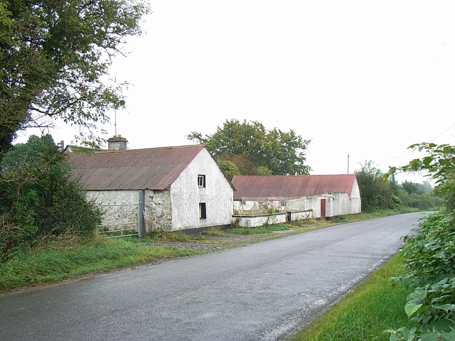 Enclosure in MoymetEnclosure · 342 yd
 Moymet CastleCastle, tower house · 1327 yd
 Church (in Ruins)Church · 1588 yd
 Black ChurchChurch · 1.9 mi
 CastleCastle, motte · 2.8 mi
 JamestownMountain / peak · 3.7 mi
 FraineMountain / peak · 4.2 mi
 The New Line RoadMemorial · 4.7 mi
 Wych ElmWych Elm · 4.9 mi
 Small-leaved ElmSmall-leaved Elm · 5.2 mi
 Donaghmore Round TowerHeritage attraction · 9.0 mi