
What is recorded here
This enclosure is indicted on the 1836 OS 6-inch map as a circular enclosure (diam. c. 15), named ‘Fort’. Inspected in the early 1980’s, it was recorded as follows: ‘An arc of an enclosing bank or wall 15m long, c. 2m wide and .1m high is all that survives of the 'Fort' marked on the 1st and 2nd editions of the OS maps. The bank remains are of soil but the boggy rocky terrain suggests that the site may have been a cashel. The area has been extensively afforested.’ (Lacy 1983, 216, no. 1396). The enclosure has since been destroyed by quarrying.
Compiled by: Jane O'Shaughnessy
Date of revised upload: 26 July 2019
A local fairy fort (ringfort/rath); wider significance not recorded.
The monument record does not grant public access. Check the route and ask the landowner before entering private land.
- What survives
- Recorded monument
Places near here
 Church of the Ascensionchurch/chapel · 1035 yd
 Enclosure in TievecloghogeEnclosure · 1.5 mi
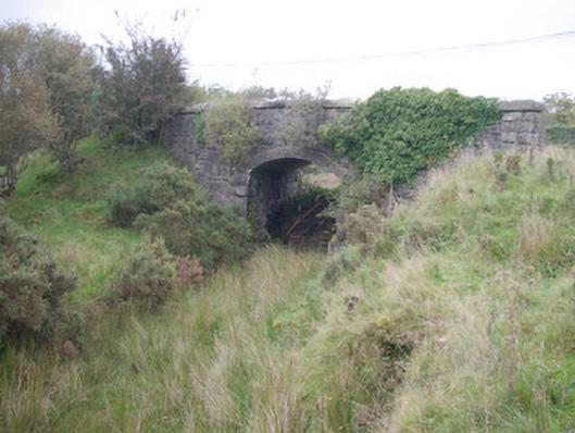 Meenglass Station Bridgebridge · 1.5 mi
 Lough HillMountain / peak · 2.6 mi
 Enclosure in Meenreagh (gleneely Ed)Enclosure · 2.7 mi
 Lismullyduff MountainMountain / peak · 3.0 mi
 Drumboe WoodForest recreation place · 3.5 mi
 Castle (Site of)Castle, unclassified · 4.8 mi
 Killeter ForestForest · 5.5 mi
 CastleCastle, unclassified · 9.4 mi
 Ard na Mona WoodOfficial walking route · 10 mi
 Saints IslandIsland · 10 mi
Other information
Photo: Credit not shown in the picture search · Rights wording not checked; contact us if this picture should be removed