What is recorded here
Kinletter holds a 1.7m stone, 0.8m wide, standing E-W in forestry above rough pasture and bog. It is the kind of place where people may have marked boundary, ceremony or memory before roads existed. The surrounding land still moves with water, shade and silence, keeping the stone company long after human hands stopped shaping it.
A standing stone 1.7m high × c. 0.8m wide; E-W. Situated, in forestry, in an area generally of rough pasture and bog land.
The above description was derived from the 'Archaeological Survey of County Donegal. A description of the field antiquities of the County from the Mesolithic Period to the 17th century.' Compiled by: Brian Lacey with Eamon Cody, Claire Cotter, Judy Cuppage, Noel Dunne, Vincent Hurley, Celie O'Rahilly, Paul Walsh and Seán Ó Nualláin (Lifford: Donegal County Council, 1983). In certain instances the entries have been revised and updated.
Date of upload: 22 September 2008
The monument record does not grant public access. Check the route and ask the landowner before entering private land.
- What survives
- Recorded monument
Places near here
 Enclosure in TruskEnclosure · 1.2 mi
 Church of the Ascensionchurch/chapel · 1.3 mi
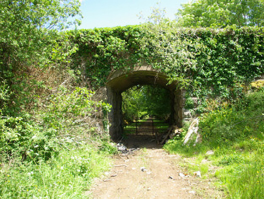 bridgebridge · 1.6 mi
 Enclosure in TievecloghogeEnclosure · 1.8 mi
 Lismullyduff MountainMountain / peak · 2.0 mi
 Drumboe WoodForest recreation place · 2.9 mi
 Castle (Site of)Castle, unclassified · 3.8 mi
 Lough HillMountain / peak · 3.9 mi
 Site of CastleCastle, unclassified · 4.8 mi
 Killeter ForestForest · 6.2 mi
 Bulls IslandIslet · 11 mi
 Black RockIslet · 17 mi