What is recorded here
Situated on a very gentle ESE-facing slope leading down to a stream running N-S close to the E sector of the site. There is a well immediately to the NW. Identified as a possible enclosure on an aerial photograph taken in 1973 (GSIAP, S 462/1). Not visible at ground level. Vol. 1 - North Tipperary' compiled by Jean Farrelly and Caimin O'Brien (Dublin: Stationery Office, 2002).
From the National Monuments Service (Archaeological Survey of Ireland) record TN041-024
The monument record does not grant public access. Check the route and ask the landowner before entering private land.
- What survives
- Recorded monument
Places near here
Photo credits
- National Inventory of Architectural Heritage
- Garry Dickinson, Geograph · CC BY-SA 2.0
- Willow, Wikimedia Commons · CC BY 2.5
- Lár na Páirce Museum, Wikimedia Commons · CC BY 2.0
- Paddy Ryan, Wikimedia Commons · CC BY-SA 4.0
- Steven Brown, Geograph · Creative Commons Attribution-ShareAlike 2.0
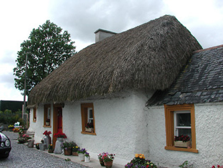 The CottageHouse · 1225 yd
 Brittas CastleDemesne walls/gates/railings · 1479 yd
 Bawn in Brittas (thurles Par.)Bawn · 1645 yd
 Brittas CastleCastle, unclassified · 1662 yd
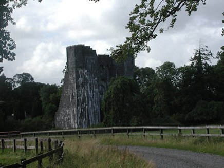 Brittas CastleCountry house · 1664 ydEnclosure in Brittas (thurles Par.)Enclosure · 1675 ydSt. Mary's Famine and War MuseumMuseum · 1.4 mi
 European ash1.5 mi
 Lár na PáirceMuseum · 1.7 miEuropean ash3.5 mi
 Devil's Bit MountainMountain / peak · 9.8 mi
 Grave YardGraveyard · 11 mi
More archaeology and monuments in County Tipperary · All of County Tipperary
What do you know about this place?