What is recorded here
In rough hill grazing, on the edge of a break, on the lower NNE-facing slopes of Stoukeen Mountain. A roughly circular area (17.6m NW-SE; 16.2m NE-SW) is defined by the remains of a ruined drystone wall. The wall (T 1.1m; H 0.45m) is mainly grass-covered with numerous stones protruding through the cover; some walling is visible along the inner face at S and in parts contiguous upright slabs form the inner and outer face. The entrance (Wth 2m) at SE is defined on the S side by an upright slab (H 0.89m; Wth 1.17m; T 0.2m) at right angles to the line of the enclosing wall. The interior slopes down very gently to the NE and is raised N-ESE to compensate for the hillslope. At N and tangential to the wall of the enclosure is a stream channel cut into the hill and running E-W. On the N side of this channel, a relict stone field boundary (CO038-166----) extends in a general N direction. At the SSE side of the enclosure, a second relict field wall (CO038-167----) extends in a general SSW direction for 217m. The enclosure is named 'Sheep fold' on the 1842 OS 6-inch map.
The above description is derived from 'The Archaeological Inventory of County Cork. Volume 5' (Dublin: Stationery Office, 2009).
Date of upload: 22 December 2009
The monument record does not grant public access. Check the route and ask the landowner before entering private land.
- What survives
- Recorded monument
Places near here
 IndicatedFairy fort / stone ringfort · 203 yd
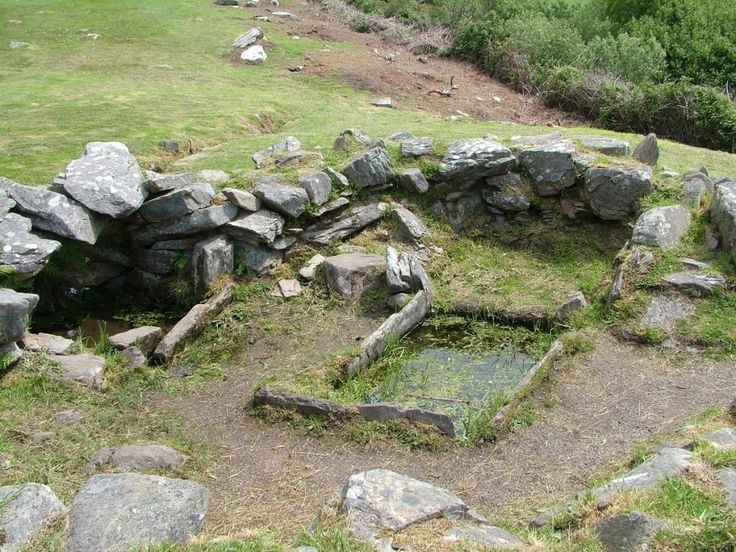 Fulacht FiadhFulacht fia · 642 yd
 Caherbarnagh East TopMountain / peak · 1403 yd
 Caherbarnagh NW TopMountain / peak · 1.2 mi
 Ballydaly Church (in Ruins)Church · 1.6 mi
 Church of Our Lady of Lourdeschurch/chapel · 2.0 mi
 Wildlife of the UplandsVisitor information · 3.5 mi
 Birds of DuhallowVisitor information · 3.6 mi
 Kilmeedy CastleCastle, tower house · 3.8 mi
 RowanRowan · 4.0 mi
 Millstreet Museum & Tourist Information CentreMuseum · 4.1 mi
 Nohaval WoodWood · 4.2 mi