What is recorded here
Atop low rise, in level low-lying pasture. Roughly rectangular area (41.3m N-S; 24m E-W) enclosed on N and W sides by earth and stone bank (int. H 1.2m; ext. H 1m), slight trace of levelled bank on S side but no surface trace of enclosing element on E side (though depicted on 1923 OS 6-inch map). Enclosing bank overgrown by bushes and briars and forms part of surrounding field boundary system. Interior undulating.
Compiled by: Denis Power
Date of upload: 26 August 2011
The monument record does not grant public access. Check the route and ask the landowner before entering private land.
- What survives
- Recorded monument
Places near here
 Megalithic structure in Tomdeely NorthMegalithic structure · 460 yd
 CairnCairn, burial cairn · 578 yd
 Tomdeely CastleCastle · 631 yd
 Ballynash CastleCastle, unclassified · 1077 yd
 Holly IslandIslet · 1127 yd
 Greenish IslandIslet · 1.1 mi
 Abbey (in ruinsReligious house, Franciscan friars · 1.2 mi
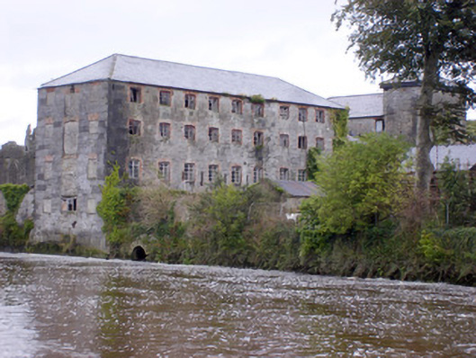 Abbey Millsmill (water) · 1.3 mi
 Courtbrown PointHeadland · 1.4 mi
 Askeaton CastleHeritage attraction · 1.4 mi
 Herring RockNamed rock · 2.4 mi
 Foynes Flying Boat & Maritime MuseumMuseum · 5.0 mi