
What is recorded here
Situated in a low-lying area under tillage. An aerial photograph taken in 1992 shows a circular cropmark (diam. c. 30m) in an area marked as 'Leechtown Wood' and close by 'Rath wood' on the 1937 OS ed. (OS 8/1941). There is an opening in the ENE quadrant of the enclosure. The woods have since been cleared and the ground cultivated. Not visible at ground level. Wood clearance confirmed on aerial and subsequent construction of the M1 motorway.
Compiled by: Geraldine Stout
Updated by: Christine Baker
Date of upload: 19 October 2014
A local fairy fort (ringfort/rath); wider significance not recorded.
The monument record does not grant public access. Check the route and ask the landowner before entering private land.
- What survives
- Recorded monument
Places near here
 TobersoolHoly well · 828 yd
 Church in ruinsChurch · 990 yd
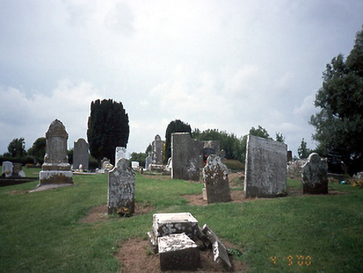 graveyard/cemeterygraveyard/cemetery · 998 yd
 Ecclesiastical enclosure in TobertownEcclesiastical enclosure · 1029 yd
 Gormanston CastleCastle · 1526 yd
 European YewEuropean Yew · 1545 yd
 SycamoreSycamore · 1722 yd
 Clonard SpringSpring · 1.7 mi
 Castle (remains of)Castle, tower house · 2.7 mi
 Seamus Ennis Cultural CentreMemorial · 3.1 mi
 Bun-na-CnoicMemorial · 3.2 mi
 Balrothery Heritage CentreMuseum · 3.4 mi
Other information
Photo: Credit not shown in the picture search · Rights wording not checked; contact us if this picture should be removed