What is recorded here
Circular area (diam. 20m) defined by earthen bank (Wth 2-4m; H 1.5-2m) with internal stone cladding. In centre of stream with leat (now dry) breaching bank at NE, following inner edge of bank at N and W and exiting at SW. Rough pasture. While the bulk of the monument lies in Co. Wexford (where it is recorded as WX001-001----) the N limits appear to be incorporated into the border with Co. Wicklow.
Compiled by: Michael Moore; Gearóid Conroy
Date of upload: 23 October 2012
The monument record does not grant public access. Check the route and ask the landowner before entering private land.
- What survives
- Recorded monument
Places near here
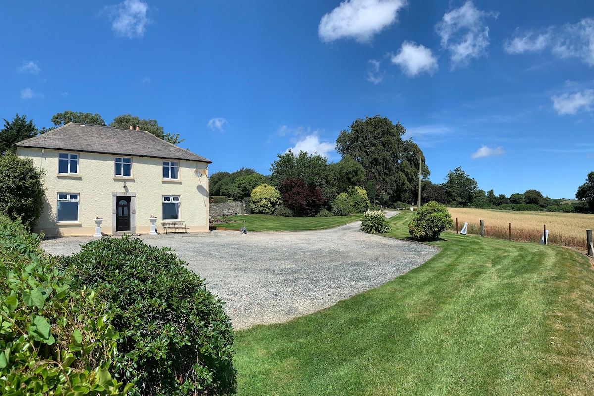 Embanked enclosureFairy fort / earthen ringfort · 10 yd
 Enclosure in ToberpatrickEnclosure · 238 yd
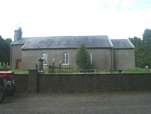 Kilpipe Churchchurch/chapel · 1256 yd
 1798 MemorialMemorial · 1702 yd
 Barnadown Housegates/railings/walls · 1758 yd
 Ballythomas HillMountain / peak · 1.6 mi
 (Site of) Raymond CastleCastle, unclassified · 1.7 mi
 Coolalug WoodWood · 1.7 mi
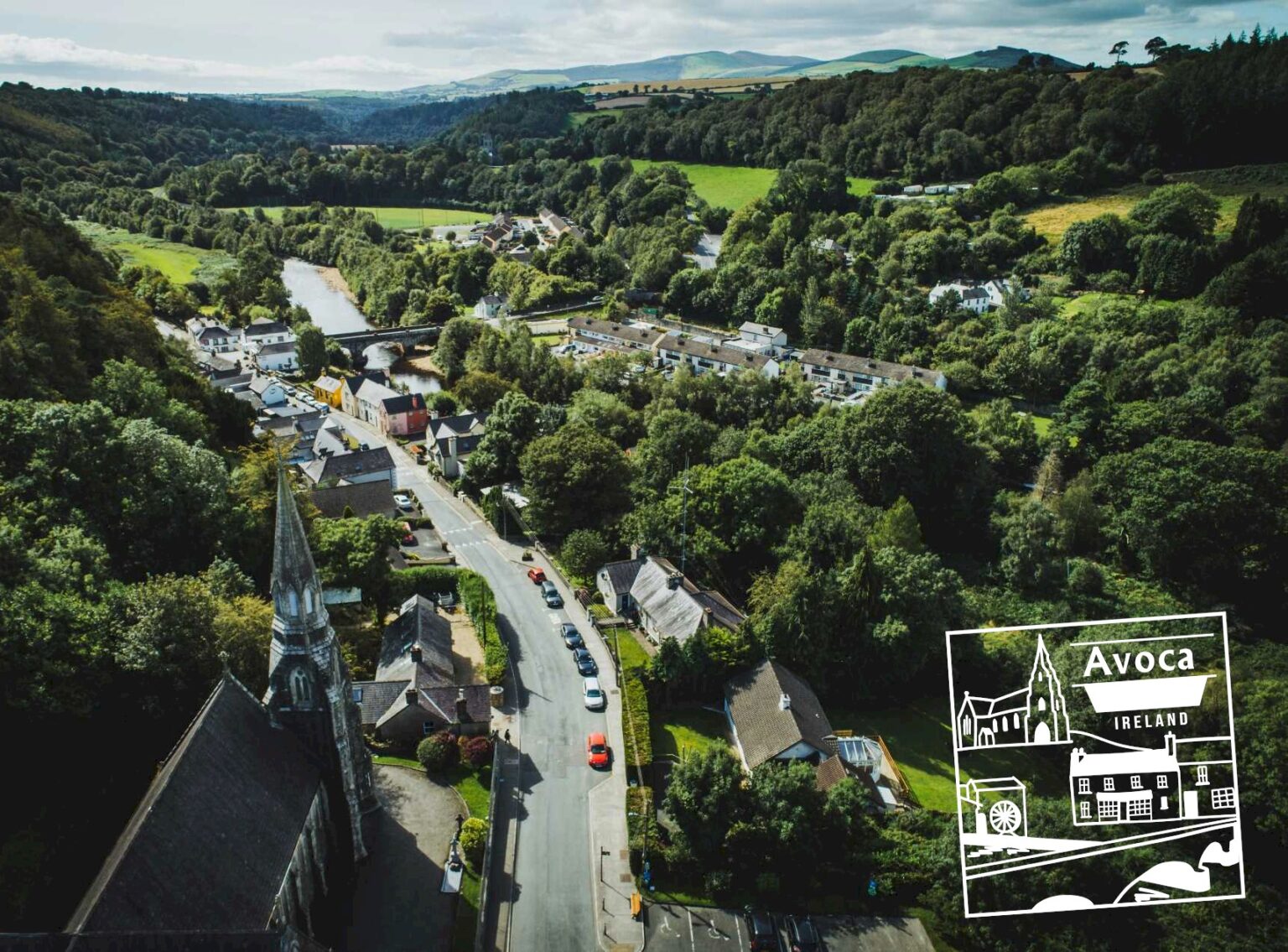 Killaveny WoodWood · 2.0 mi
 Monalee HillMountain / peak · 2.1 mi
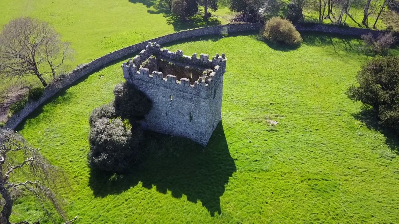 (Site of) Castle & RampartCastle, unclassified · 2.5 mi
 1798 Lacey Brothers MemorialMemorial · 2.9 mi