
What is recorded here
Polygonal shaped enclosure identified on aerial photograph (GSIAP N 205-06; 406-07; Swan 35BWN_00091_31). Polygonal shape of field boundary on S side of monument may represent part of the monument identified from aerial photographs. Slightly elevated site in generally low lying area. Nothing can be seen of this possible site from the ground except for a depression at the N side which may be part of the enclosure.
Compiled by: Caimin O'Brien
Date of upload: 17 December 2007
A local fairy fort (ringfort/rath); wider significance not recorded.
The monument record does not grant public access. Check the route and ask the landowner before entering private land.
- What survives
- Recorded monument
Places near here
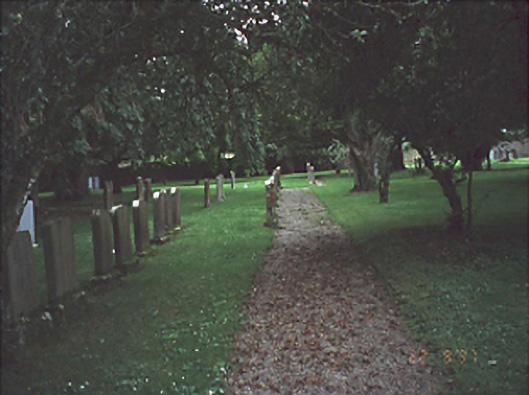 graveyard/cemeterygraveyard/cemetery · 728 yd
 Site of Round TowerRound tower · 997 yd
 Saint Brigid's Church (Rosenallis)church/chapel · 1052 yd
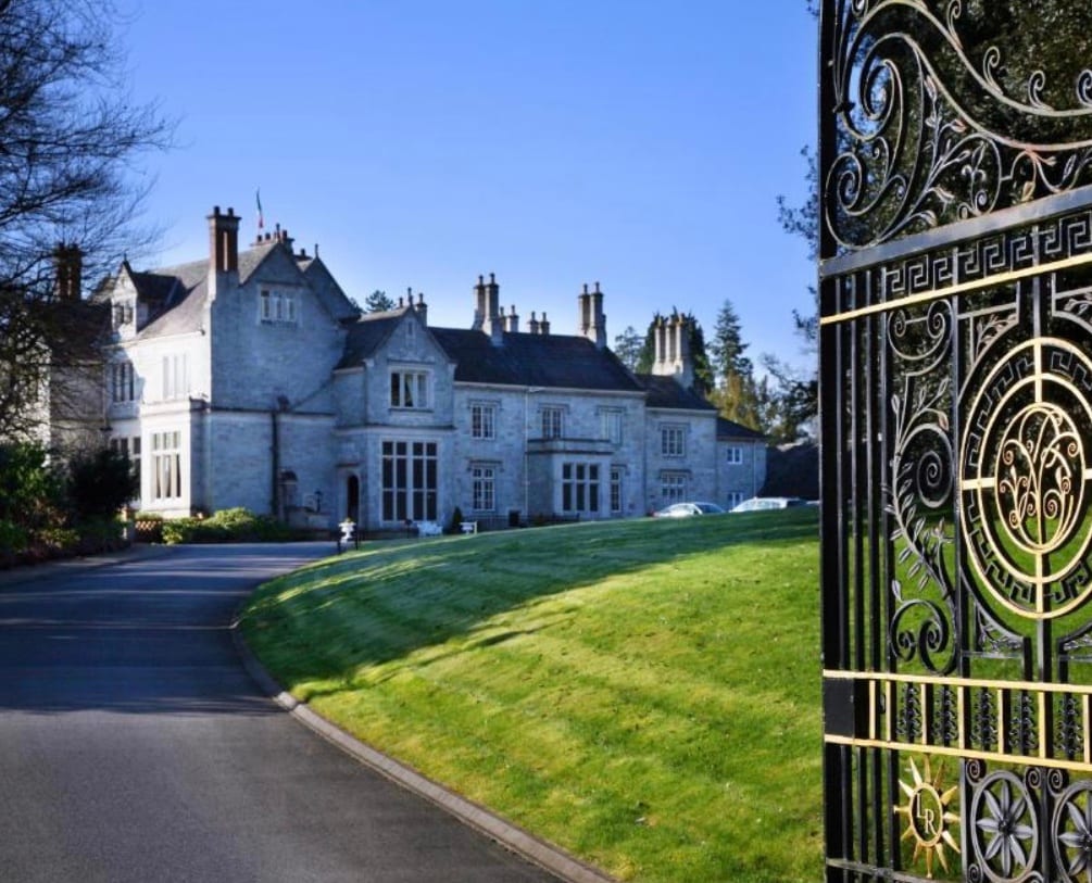 Enclosure in RinnEnclosure · 1098 yd
 Derryisheen WoodWood · 3.1 mi
 CastleCastle, unclassified · 3.2 mi
 Turrets (in Ruins)Bawn · 4.2 mi
 Church (in Ruins), GraveyardChurch · 4.4 mi
 Friary (in Ruins) GraveyardReligious house, unclassified · 4.7 mi
 BaunreaghcongMountain / peak · 6.1 mi
 Red HillMountain / peak · 6.3 mi
 Derryad WoodForest · 7.1 mi
Other information
Photo: Credit not shown in the picture search · Rights wording not checked; contact us if this picture should be removed