
What is recorded here
Located in a relatively level and low-lying location (c. 21m OD) in a gently undulating landscape characterised by tillage and pastoral farming, and c. 1.7kms from the Irish Sea coastline to the E. Sited towards the S boundary of a field currently in use for tillage purposes (July 2021), and located 545m ENE of the centre of the village of Rathnew. Landscape slopes very gently upwards from SW to NW from Rathnew towards Tinakelly House (NIAH 16402508), which is located on a low hillock c. 440m to the E. Site located c. 574m NE of the remains of a ruinous church (WI040-010001-) set within an oval-shaped enclosure (defined by rubble stone wall) containing an associated graveyard (WI040-010002-) that is located towards the SE end of the historic centre of the village of Rathnew. This enclosure is clearly visible as a cropmark on Google Earth aerial photograph of the site (July 2021). It consists of a subcircular feature (ext. dims c. 26.25m N-S x 24.27m E-W) that is defined by a continuous ditch (Wth c. 1.1m) that is largely visible around the entire circuit of the site. No definitive evidence for an entrance gap.
Compiled by: T.J. O'Meara based on details provided by Jean-Charles Caillère
Uploaded on: 04/07/2023
The monument record does not grant public access. Check the route and ask the landowner before entering private land.
- What survives
- Recorded monument
Places near here
 Font in UnknownFont · 230 yd
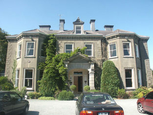 Tinakelly Housecountry house · 475 yd
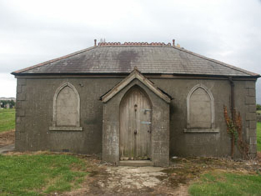 Rathnew and Wicklow Cemeterybuilding misc · 480 yd
 Font in CommonsFont · 622 yd
 Sessile OakSessile Oak · 1644 yd
 European YewEuropean Yew · 1.0 mi
 CastleCastle, unclassified · 1.2 mi
 Round MountCastle, motte · 1.4 mi
 Glen Beach Cliff WalkWalking route · 3.1 mi
 Silver StrandBeach / strand · 3.9 mi
 Carrick MountainMountain / peak · 3.9 mi
 Kilpoole BeachBeach / strand · 4.3 mi
Other information
Photo: Credit not shown in the picture search · Rights wording not checked; contact us if this picture should be removed