What is recorded here
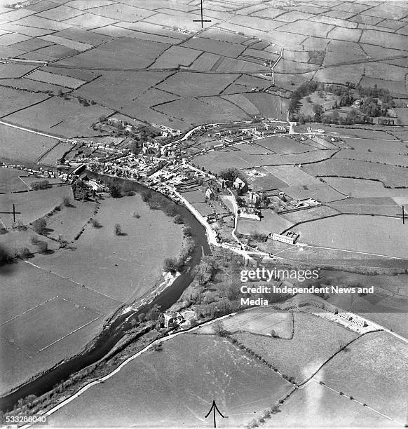
On level ground in gently undulating terrain, in pasture. There is a natural waterlogged depression immediately to the NNW and an enclosure (TS068-133----) c. 80m to the N. Monument identified as a circular cropmark on an aerial photograph (ASIAP (34) 28). Though levelled, this monument is visible on the ground as a circular raised area (diam. 25m) defined by a gradual gentle scarp (Wth 6m; H above ext. 0.3m) and a subtle fosse (Wth 3-3.5m) which is emphasised by naturally rising ground externally. The edge of the scarp is not clear in the S quadrant where a field boundary runs E-W along the edge of the monument.
Compiled by: Jean Farrelly
Date of upload: 20 March 2013
The monument record does not grant public access. Check the route and ask the landowner before entering private land.
- What survives
- Recorded monument
Places near here
 Enclosure in Thomastown Demesne SouthEnclosure · 115 yd
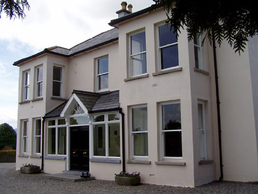 Rathduff Househouse · 685 yd
 RathcooleFairy fort / earthen ringfort · 934 yd
 CastleCastle, ringwork · 1201 yd
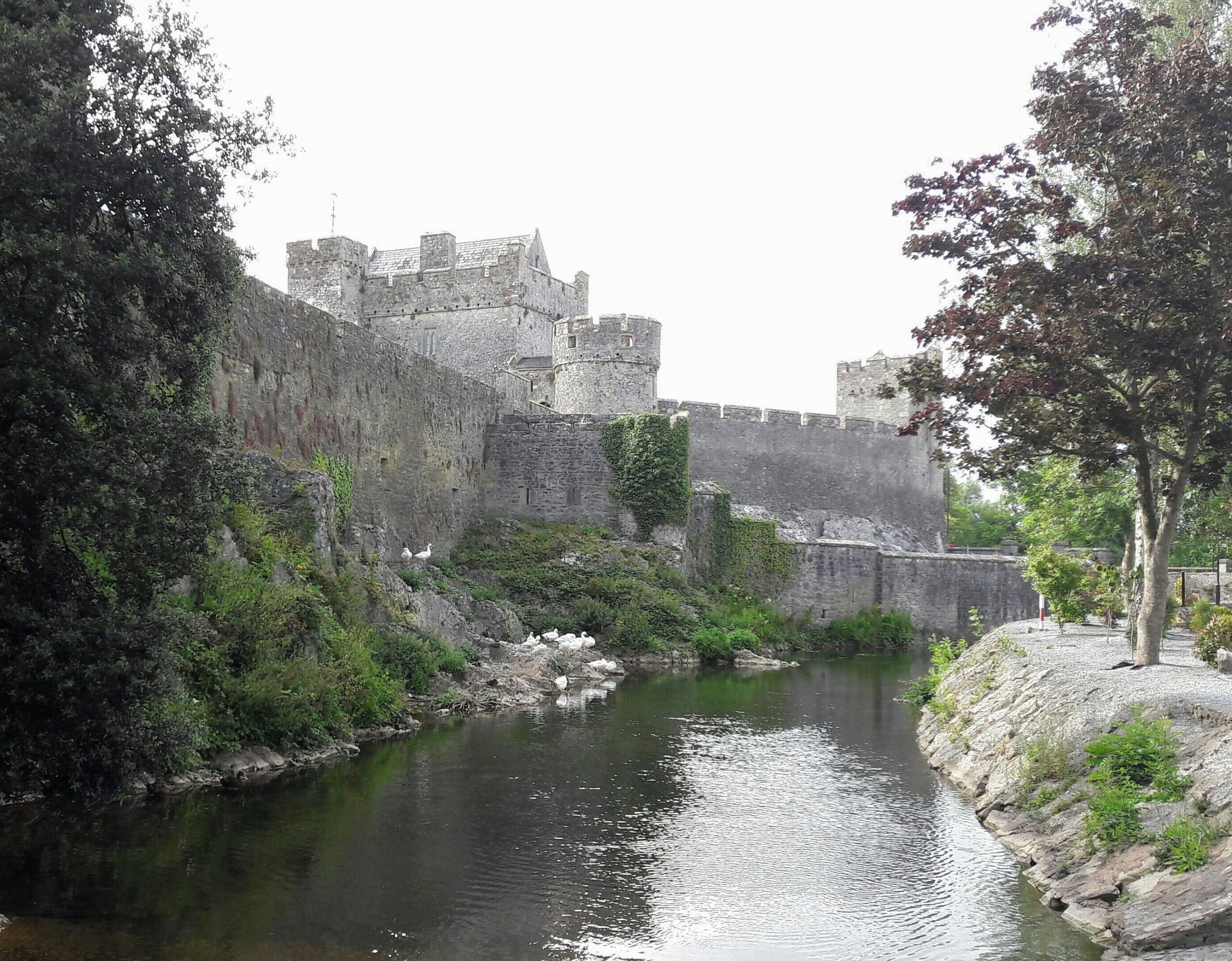 Ballymacady CastleCastle · 1306 yd
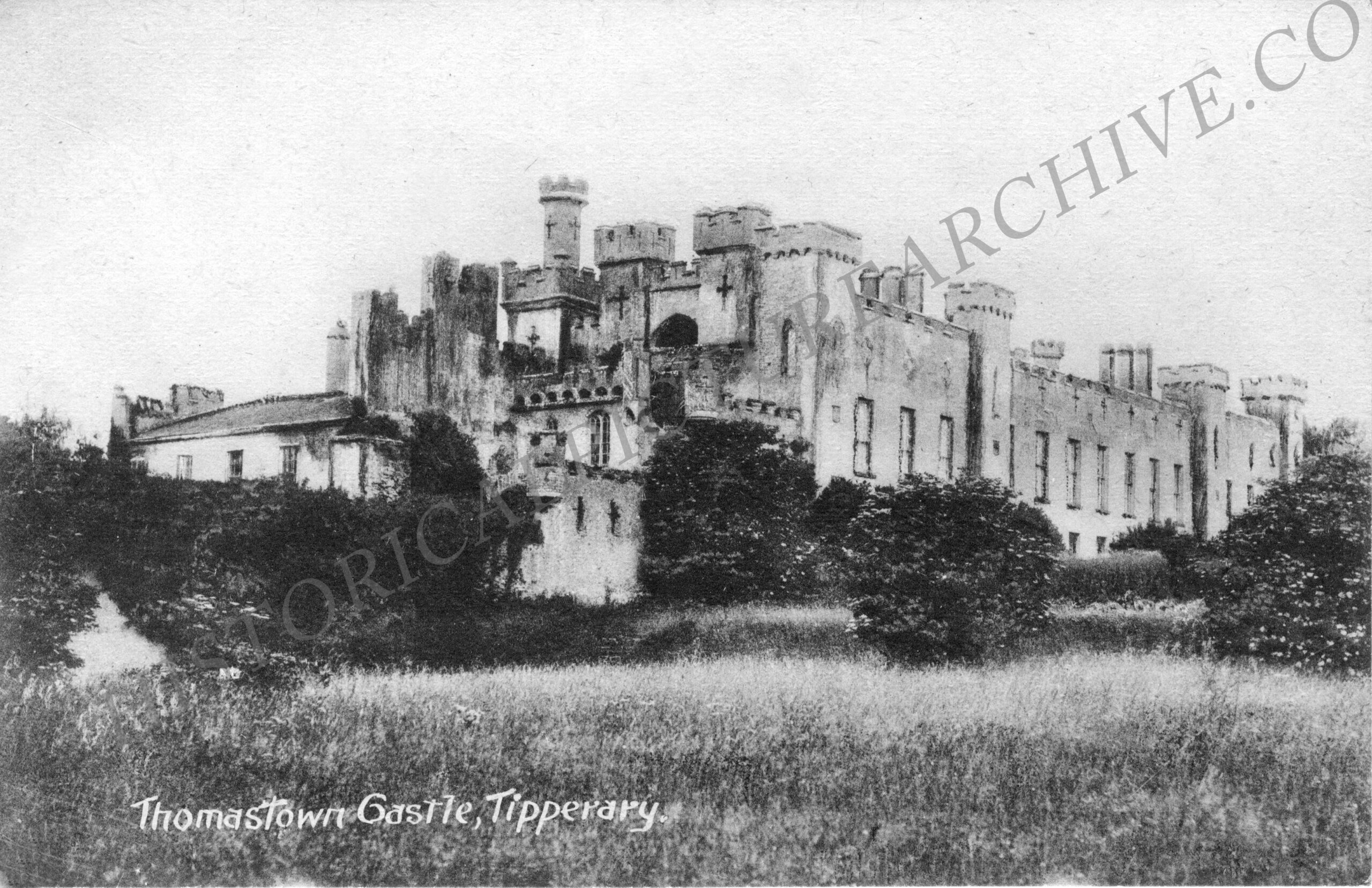 Thomastown Church (in ruins)Church · 1690 yd
 Athassel PrioryHeritage attraction · 1.7 mi
 European ashEuropean ash · 3.4 mi
 Bansha ForestForest · 4.3 mi
 SturrakeenMountain / peak · 5.7 mi
 The RockViewpoint · 6.1 mi
 Laghtshanaquilla North-East TopMountain / peak · 6.3 mi
Other information
Photo: Credit not shown in the picture search · Rights wording not checked; contact us if this picture should be removed