
What is recorded here
In undulating pasture on a slight S-facing slope, excellent views in all directions. Irregular undulations in vicinity of site, no enclosing element visible. Identified as Site No. 1 in 1994 by Celie O’Rahilly during field survey and described as following; ‘Low circular feature, approx. diam. 45m. Situated on a gentle south facing slope, green pasture, was mixed woodland. Located c. 10m north of the old boundary wall of the orchard of the modern Conigar House. The latter is not marked on the first edition of the map, and the orchard is not marked on the current edition’. Site was inspected in 2001 and no surface remains were visible. According to local information this site was known locally as a 'Fort' (SMR File). No surface remains visible of any monument on Google Earth orthoimage taken 19/11/2019.
See attached 1994 field map and Google earth orthoimage taken 28/06/2018
Compiled by: Fiona Rooney
Date of upload: 23 June 2020
A local fairy fort (ringfort/rath); wider significance not recorded.
The monument record does not grant public access. Check the route and ask the landowner before entering private land.
- What survives
- Recorded monument
Places near here
 Enclosure in CastlemungretEnclosure · 1160 yd
 Tervoe HouseRuins · 1169 yd
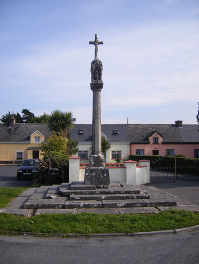 Monsell Monumentmonument · 1457 yd
 Not shownFulacht fia · 1.1 mi
 St James's WellSpring · 1.1 mi
 Coonagh NatureNature reserve · 1.3 mi
 Carrigogunnell CastleRuins · 1.4 mi
 Coreen Castle (in ruins)Castle, unclassified · 1.6 mi
 Sailors HaggardMemorial · 2.0 mi
 Cratloe WoodsForest · 4.5 mi
 Grass IslandIslet · 4.7 mi
 Maiden RockNamed rock · 4.9 mi
Other information
Photo: Credit not shown in the picture search · Rights wording not checked; contact us if this picture should be removed