What is recorded here
In pasture, on slight N facing slope of rising ground, 30m S of the townland boundary with Ballymacashel and 75m SE of a fulacht fia (LI012-126----). Present remains consist of a slightly raised oval-shaped area (int. diam. 20m) enclosed by an earth and stone bank (int. H 0.25m; ext. H 0.8m; base Wth 4.5m) with stone-revetted entrance gap (Wth 1.45m) at E. The interior is level and overgrown. Large flat stones (approx. dims. 1.2m x 0.7m x 0.25m) forming a revetment at the base of the bank is visible at SE and around the entrance gap. Field clearance material has been dumped on the bank at NE and SW while a field boundary running N-S intersects the perimeter of the monument at E. Google Earth orthoimage taken 2019 shows the monument heavily overgrown with the enclosing bank visible from S through to W.
See attached Google Earth orthoimage taken 19/11/2019
Compiled by: Martin Fitzpatrick
Date upload: 18 June 2020
The monument record does not grant public access. Check the route and ask the landowner before entering private land.
- What survives
- Recorded monument
Places near here
 Enclosure in TervoeEnclosure · 736 yd
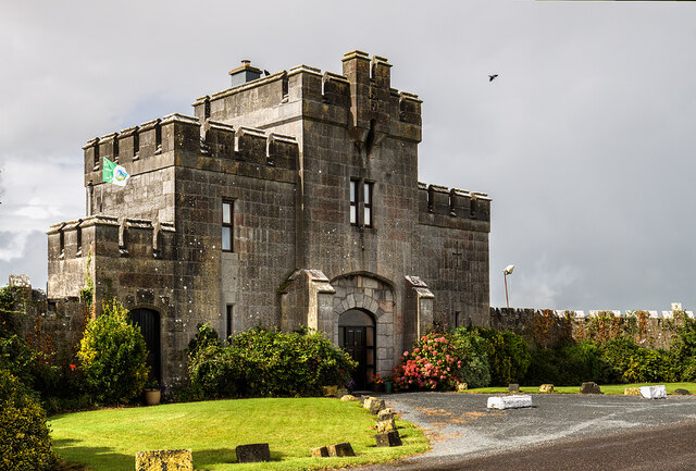 Elm Park Housegate lodge · 1134 yd
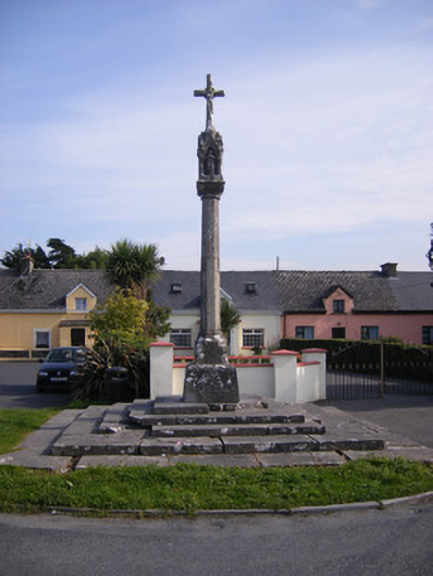 Monsell Monumentmonument · 1198 yd
 Grave YardGraveyard · 1599 yd
 St James's WellSpring · 1.1 mi
 Carrigogunnell CastleRuins · 1.2 mi
 Meelick Ho.House, fortified house · 1.7 mi
 Coonagh NatureNature reserve · 1.7 mi
 Sailors HaggardMemorial · 2.0 mi
 Grass IslandIslet · 4.5 mi
 Cratloe WoodsForest · 4.7 mi
 Maiden RockNamed rock · 4.8 mi